In an era where infrastructure is the backbone of economic development and societal progress, the need for effective monitoring systems has never been more critical. Real-time infrastructure monitoring refers to the continuous assessment of structures such as bridges, roads, railways, and buildings to ensure their safety, functionality, and longevity. This process involves the use of various technologies to collect data on structural integrity, environmental conditions, and usage patterns.
The integration of real-time monitoring systems allows for timely interventions, reducing the risk of catastrophic failures and enhancing maintenance strategies. The traditional methods of infrastructure monitoring often rely on manual inspections and periodic assessments, which can be time-consuming and prone to human error. As infrastructure ages and the demands on these structures increase, the limitations of conventional monitoring become apparent.
The advent of advanced technologies, particularly in the realm of data collection and analysis, has paved the way for more efficient and effective monitoring solutions. Among these innovations, drones have emerged as a transformative tool, offering unprecedented capabilities in real-time infrastructure monitoring.
Key Takeaways
- Real-time infrastructure monitoring is essential for ensuring the safety and efficiency of critical infrastructure such as bridges, roads, and pipelines.
- Drones play a crucial role in infrastructure monitoring by providing real-time data and imagery for assessing the condition of infrastructure and identifying potential issues.
- Using drones for real-time monitoring offers advantages such as cost-effectiveness, accessibility to hard-to-reach areas, and improved safety for personnel.
- Drones have diverse applications in infrastructure monitoring, including bridge inspections, pipeline surveillance, and disaster response.
- Despite their benefits, drone-based monitoring also presents challenges such as regulatory restrictions, limited battery life, and data management issues.
The Role of Drones in Infrastructure Monitoring
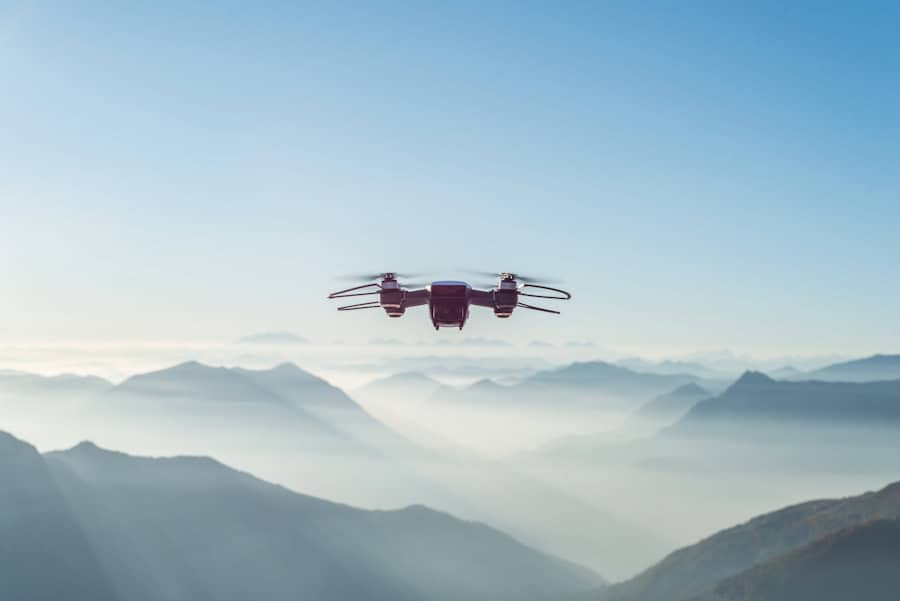
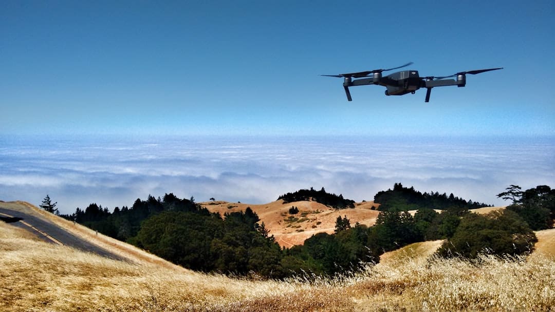
Drones, or unmanned aerial vehicles (UAVs), have revolutionized various industries with their ability to access hard-to-reach areas and gather high-resolution data quickly. In the context of infrastructure monitoring, drones serve as aerial platforms equipped with advanced sensors and imaging technologies. These devices can capture detailed visual data, including high-definition images and thermal readings, which are essential for assessing the condition of structures.
The agility and versatility of drones enable them to perform inspections in a fraction of the time required by traditional methods. One of the key roles drones play in infrastructure monitoring is their ability to provide real-time data collection. Equipped with GPS technology and sophisticated imaging systems, drones can fly predetermined routes over infrastructure sites, capturing data that can be analyzed immediately.
This capability allows engineers and maintenance teams to identify potential issues before they escalate into significant problems. For instance, a drone can quickly survey a bridge for signs of wear or damage after a severe storm, providing critical information that informs maintenance decisions.
Advantages of Using Drones for Real-Time Monitoring

The advantages of employing drones for real-time infrastructure monitoring are manifold. First and foremost is the efficiency they bring to the inspection process. Drones can cover large areas in a short amount of time, significantly reducing the duration of inspections compared to traditional methods.
This efficiency not only saves time but also reduces labor costs associated with manual inspections. For example, a drone can inspect a long stretch of highway in minutes, whereas a team of inspectors might take hours or even days to conduct a thorough assessment. Another significant advantage is the enhanced safety that drones provide.
Inspecting infrastructure often involves working at heights or in hazardous environments, which poses risks to human inspectors. Drones eliminate the need for personnel to physically access dangerous locations, thereby minimizing the risk of accidents and injuries. For instance, when inspecting tall structures like communication towers or wind turbines, drones can safely navigate around these sites without putting human lives at risk.
This aspect is particularly crucial in industries where safety regulations are stringent and compliance is mandatory.
Applications of Drones in Infrastructure Monitoring
Drones have found diverse applications across various sectors when it comes to infrastructure monitoring. In civil engineering, they are extensively used for surveying and mapping purposes. By capturing aerial imagery and generating 3D models, drones facilitate accurate assessments of land use and topography, which are essential for planning new projects or evaluating existing ones.
This application is particularly valuable in construction projects where precise measurements are critical for ensuring structural integrity. In addition to surveying, drones are increasingly utilized for inspecting critical infrastructure such as bridges, dams, and power lines. For example, bridge inspections traditionally require scaffolding or cranes to access hard-to-reach areas.
Drones equipped with high-resolution cameras can fly beneath bridges and capture detailed images of structural components like beams and joints. This capability allows engineers to detect issues such as cracks or corrosion that may not be visible from ground level. Similarly, power companies use drones to monitor transmission lines for signs of wear or damage, enabling proactive maintenance that prevents outages.
Challenges and Limitations of Drone-Based Monitoring
Despite their numerous advantages, drone-based monitoring is not without challenges and limitations. One significant hurdle is regulatory compliance. The use of drones is subject to strict regulations imposed by aviation authorities in many countries.
These regulations often dictate where and how drones can be operated, which can limit their effectiveness in certain situations. For instance, flying drones over populated areas or near airports may require special permissions or may be outright prohibited. Another challenge lies in the technological limitations of drones themselves.
While advancements in drone technology have led to improved flight times and payload capacities, factors such as battery life and weather conditions can still impact their performance. Drones may struggle in adverse weather conditions like heavy rain or strong winds, which can hinder their ability to collect reliable data. Additionally, while drones can capture high-resolution images, interpreting this data requires skilled personnel who can analyze the information accurately.
Case Studies of Successful Drone-Based Monitoring Projects

Several case studies illustrate the successful implementation of drone-based monitoring in various infrastructure projects. One notable example is the use of drones by the New York City Department of Transportation (NYCDOT) for bridge inspections. Faced with the challenge of inspecting over 700 bridges across the city, NYCDOT adopted drone technology to streamline their inspection process.
By utilizing drones equipped with high-resolution cameras, inspectors were able to conduct thorough assessments more efficiently than ever before. The initiative not only reduced inspection times but also improved the accuracy of identifying structural issues. Another compelling case study comes from the energy sector, where utility companies have employed drones for inspecting power lines and substations.
For instance, Pacific Gas and Electric (PG&E) has integrated drone technology into its maintenance operations to enhance safety and efficiency. By using drones to inspect thousands of miles of power lines, PG&E has been able to identify potential hazards such as vegetation encroachment or equipment malfunctions before they lead to outages or safety incidents. This proactive approach has resulted in significant cost savings and improved reliability for customers.
Future Developments and Trends in Drone-Based Infrastructure Monitoring
The future of drone-based infrastructure monitoring is poised for significant advancements as technology continues to evolve. One emerging trend is the integration of artificial intelligence (AI) with drone operations. AI algorithms can analyze vast amounts of data collected by drones in real time, identifying patterns and anomalies that may indicate structural issues.
This capability could lead to more accurate predictions regarding maintenance needs and extend the lifespan of critical infrastructure. Additionally, advancements in drone autonomy are expected to enhance their operational capabilities further. Future drones may be equipped with advanced navigation systems that allow them to operate without human intervention in complex environments.
This autonomy could enable continuous monitoring of infrastructure assets without requiring regular manual oversight. Furthermore, as drone technology becomes more accessible and affordable, we can anticipate broader adoption across various sectors beyond civil engineering and energy.
The Impact of Drones on Real-Time Infrastructure Monitoring
The integration of drones into real-time infrastructure monitoring represents a paradigm shift in how we assess and maintain our built environment. By providing efficient, safe, and accurate data collection methods, drones have transformed traditional inspection practices into proactive maintenance strategies that prioritize safety and reliability. As technology continues to advance, the potential applications for drone-based monitoring will expand even further, paving the way for smarter cities and more resilient infrastructure systems.
The impact of drones on infrastructure monitoring extends beyond mere efficiency; it encompasses enhanced safety measures, cost savings, and improved decision-making processes for engineers and maintenance teams alike. As we look toward the future, it is clear that drones will play an increasingly vital role in ensuring that our infrastructure remains safe and functional in an ever-evolving world.
A related article to How Drones Are Helping in Real-Time Infrastructure Monitoring is “Top 10 Best Scheduling Software for 2023: Streamline Your Schedule Effortlessly” from enicomp.com. This article discusses the importance of efficient scheduling software in managing tasks and projects effectively. By utilizing the right tools, businesses can streamline their operations and improve productivity.
FAQs
What is real-time infrastructure monitoring?
Real-time infrastructure monitoring involves the use of technology to continuously monitor and analyze the condition and performance of various types of infrastructure, such as bridges, roads, pipelines, and buildings.
How are drones being used in real-time infrastructure monitoring?
Drones are being used in real-time infrastructure monitoring to capture high-resolution images and videos of infrastructure from various angles and heights. These images and videos are then used to assess the condition of the infrastructure and identify any potential issues or maintenance needs.
What are the benefits of using drones for real-time infrastructure monitoring?
Using drones for real-time infrastructure monitoring allows for more efficient and cost-effective inspections, as drones can access hard-to-reach areas and provide detailed visual data without the need for manual inspections. This can help in identifying potential issues early and preventing costly repairs or failures.
What types of infrastructure can drones monitor in real-time?
Drones can be used to monitor various types of infrastructure, including bridges, roads, railways, pipelines, power lines, buildings, and dams. They can also be used to monitor natural disasters and environmental changes that may affect infrastructure.
Are there any regulations or restrictions on using drones for real-time infrastructure monitoring?
Yes, there are regulations and restrictions on using drones for real-time infrastructure monitoring, including obtaining proper permits and permissions from aviation authorities, adhering to airspace regulations, and ensuring the safety and privacy of individuals and property during drone operations.

