Illegal deforestation is a pressing global issue that poses significant threats to biodiversity, climate stability, and the livelihoods of millions of people. It refers to the unauthorized removal of trees from forests, often driven by economic incentives such as agriculture, logging, and urban development. This practice not only leads to the degradation of vital ecosystems but also contributes to climate change by releasing stored carbon dioxide into the atmosphere.
The World Wildlife Fund (WWF) estimates that approximately 10 million hectares of forest are lost each year due to illegal logging and land conversion, highlighting the urgency of addressing this crisis. The complexity of illegal deforestation is compounded by various socio-economic factors. In many regions, local communities depend on forest resources for their survival, leading to a conflict between conservation efforts and the need for economic development.
Additionally, weak governance and corruption often facilitate illegal activities, making it challenging to enforce laws designed to protect forests. As a result, innovative solutions are required to monitor and combat illegal deforestation effectively. One such solution that has gained traction in recent years is the use of drones, which offer a unique perspective and capabilities for monitoring vast forested areas.
Key Takeaways
- Illegal deforestation poses a significant threat to the environment and contributes to climate change.
- The environmental impact of illegal deforestation includes loss of biodiversity, disruption of ecosystems, and increased carbon emissions.
- Drones are increasingly being used to monitor deforestation and provide real-time data on illegal logging activities.
- Drones help in identifying illegal logging activities by capturing high-resolution images and detecting changes in forest cover.
- Drones play a crucial role in preventing illegal deforestation by enabling rapid response and enforcement actions.
The Environmental Impact of Illegal Deforestation
Loss of Biodiversity
One of the most immediate impacts is the loss of biodiversity. Forests are home to approximately 80% of the world’s terrestrial species, and their destruction leads to habitat loss, endangering countless plants and animals. For instance, the Amazon rainforest, often referred to as the “lungs of the Earth,” is experiencing alarming rates of deforestation that threaten species such as the jaguar and the Amazon river dolphin.
Disruption of Ecosystems and Climate Change
The extinction of these species not only disrupts ecosystems but also diminishes genetic diversity, which is crucial for resilience against diseases and environmental changes. Moreover, illegal deforestation significantly contributes to climate change. Trees play a critical role in sequestering carbon dioxide, a greenhouse gas that drives global warming. When forests are cleared or burned, the carbon stored in trees is released back into the atmosphere, exacerbating climate change.
Global Consequences
According to the Intergovernmental Panel on Climate Change (IPCC), deforestation accounts for nearly 10% of global greenhouse gas emissions. This not only affects local climates but also has far-reaching implications for global weather patterns, leading to more extreme weather events such as droughts and floods.
The Use of Drones in Monitoring Deforestation

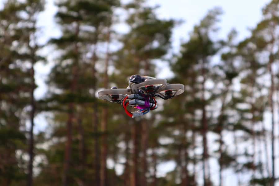
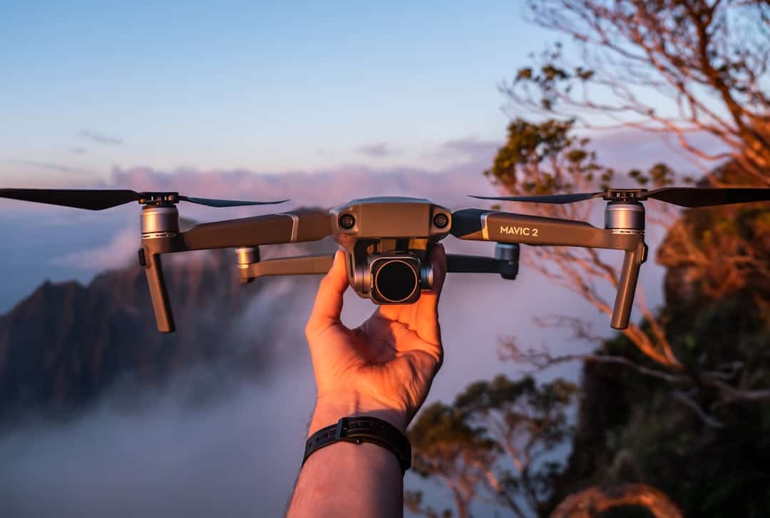
Drones have emerged as a revolutionary tool in the fight against illegal deforestation, offering unprecedented capabilities for monitoring forested areas. Equipped with high-resolution cameras and advanced sensors, drones can capture detailed aerial imagery that provides insights into forest health and changes over time. This technology allows conservationists and researchers to survey large areas quickly and efficiently, overcoming the limitations of traditional ground-based monitoring methods that are often time-consuming and labor-intensive.
One of the key advantages of using drones is their ability to access remote and difficult-to-reach areas. Many forests are located in rugged terrains or regions with limited infrastructure, making it challenging for human observers to conduct thorough assessments. Drones can easily navigate these landscapes, providing real-time data that can be analyzed to detect signs of illegal logging or other harmful activities.
Furthermore, the cost-effectiveness of drone technology makes it an attractive option for organizations with limited budgets, enabling them to allocate resources more effectively toward conservation efforts.
How Drones Help in Identifying Illegal Logging Activities
Drones play a crucial role in identifying illegal logging activities by providing high-resolution imagery that can reveal changes in forest cover over time. By employing techniques such as change detection analysis, conservationists can compare historical aerial images with current data to pinpoint areas where deforestation has occurred. This method allows for the identification of specific locations where illegal logging may be taking place, enabling targeted interventions.
In addition to visual monitoring, drones can be equipped with multispectral sensors that capture data beyond the visible spectrum. This technology can detect variations in vegetation health and density, providing insights into areas that may be under stress due to illegal activities. For example, a decline in vegetation health in a previously dense forest area could indicate recent logging operations.
By combining visual data with multispectral analysis, drones offer a comprehensive approach to monitoring forest ecosystems and identifying potential threats.
The Role of Drones in Preventing Illegal Deforestation
Beyond identification, drones also play a proactive role in preventing illegal deforestation. Their ability to provide real-time surveillance allows authorities and conservation organizations to respond quickly to illegal activities as they occur. For instance, if a drone detects unauthorized logging operations in progress, law enforcement agencies can be alerted immediately, enabling them to take action before significant damage occurs.
Moreover, drones can facilitate community engagement in conservation efforts. By involving local communities in monitoring activities using drone technology, stakeholders can foster a sense of ownership over their natural resources. This participatory approach not only enhances surveillance but also empowers communities to report illegal activities they may witness firsthand.
In some cases, local residents have been trained to operate drones themselves, creating a network of citizen monitors who contribute valuable data while promoting sustainable practices.
Challenges and Limitations of Using Drones in Monitoring Deforestation

Despite their potential benefits, the use of drones in monitoring deforestation is not without challenges and limitations. One significant hurdle is regulatory restrictions surrounding drone operations. Many countries have strict regulations governing airspace usage, which can limit the ability of conservation organizations to deploy drones effectively.
Navigating these legal frameworks requires careful planning and collaboration with local authorities to ensure compliance while maximizing the impact of drone technology. Another challenge lies in data management and analysis. While drones can collect vast amounts of data quickly, processing this information into actionable insights requires specialized skills and resources.
Organizations may face difficulties in analyzing aerial imagery or integrating drone data with existing monitoring systems. Additionally, ensuring data accuracy and reliability is crucial; false positives or misinterpretations can lead to misguided interventions or unnecessary conflicts with local communities.
Case Studies of Successful Drone Monitoring and Prevention Efforts
Several case studies illustrate the successful application of drone technology in monitoring and preventing illegal deforestation around the world. In Indonesia, for example, a project called “Eyes on the Forest” utilizes drones equipped with high-resolution cameras to monitor deforestation in Sumatra’s rainforests. The initiative has successfully identified illegal logging activities and provided evidence for legal actions against offenders.
By collaborating with local communities and authorities, this project has raised awareness about the importance of forest conservation while actively combating illegal practices. Another notable example comes from Brazil’s Amazon rainforest, where organizations like Instituto Socioambiental (ISA) have employed drones for monitoring purposes. By capturing aerial imagery of deforested areas, ISA has been able to document illegal land clearing activities and report them to authorities for enforcement action.
The use of drones has not only enhanced monitoring capabilities but has also fostered collaboration between indigenous communities and environmental organizations in protecting their ancestral lands from illegal exploitation.
The Future of Drones in Combating Illegal Deforestation
The future of drones in combating illegal deforestation appears promising as technology continues to advance and become more accessible. Innovations such as artificial intelligence (AI) and machine learning are being integrated into drone systems, allowing for automated analysis of aerial imagery. This capability could significantly enhance the speed and accuracy of detecting illegal logging activities while reducing the burden on human analysts.
Furthermore, as awareness grows about the importance of forest conservation, more organizations are likely to invest in drone technology for monitoring purposes. Collaborative efforts between governments, NGOs, and local communities will be essential in creating comprehensive strategies that leverage drone capabilities effectively. By fostering partnerships and sharing knowledge about best practices in drone usage, stakeholders can work together toward sustainable forest management and protection against illegal deforestation.
In conclusion, while challenges remain in implementing drone technology for monitoring deforestation effectively, its potential benefits are undeniable. As we move forward into an era where environmental concerns are increasingly prioritized on global agendas, drones will likely play an integral role in safeguarding our planet’s forests from illegal exploitation.
In a recent article on marketing technologies for 2023, the importance of utilizing innovative tools and strategies to address pressing global issues such as illegal deforestation is highlighted. Drones have emerged as a crucial technology in monitoring and preventing deforestation, allowing for real-time data collection and analysis to track and combat illegal logging activities. By leveraging cutting-edge marketing technologies, organizations can effectively raise awareness and support for initiatives aimed at preserving our planet’s forests.
FAQs
What are drones?
Drones, also known as unmanned aerial vehicles (UAVs), are aircraft that are operated without a human pilot on board. They can be controlled remotely by a human operator or autonomously by onboard computers.
How are drones used in monitoring and preventing illegal deforestation?
Drones are equipped with cameras and sensors that can capture high-resolution images and data of forested areas. This data can be used to monitor and detect illegal deforestation activities such as logging and land clearing. Drones can also be used to patrol and surveil remote areas, providing real-time information to law enforcement and conservation authorities.
What are the benefits of using drones for monitoring and preventing illegal deforestation?
Drones can cover large and inaccessible areas of forests, providing a cost-effective and efficient way to monitor and detect illegal deforestation activities. They can also reduce the risk to human personnel by conducting surveillance in hazardous or remote locations. Additionally, drones can provide accurate and timely data for evidence and enforcement actions against illegal deforestation.
What are the limitations of using drones for monitoring and preventing illegal deforestation?
Some limitations of using drones for monitoring and preventing illegal deforestation include limited flight time and range, as well as the need for skilled operators and data analysts. Weather conditions and technical malfunctions can also affect the effectiveness of drone operations in forested areas.
Are there any regulations or restrictions on the use of drones for monitoring and preventing illegal deforestation?
Many countries have regulations and restrictions on the use of drones, including permits and flight restrictions in certain areas. Additionally, privacy concerns and ethical considerations may impact the use of drones for surveillance and monitoring purposes. It is important for drone operators to comply with local laws and regulations when using drones for monitoring and preventing illegal deforestation.

