In recent years, the intersection of technology and conservation has emerged as a pivotal area of focus for environmentalists, researchers, and policymakers alike. As the world grapples with the escalating threats posed by climate change, habitat destruction, and biodiversity loss, innovative technological solutions are being harnessed to bolster conservation efforts. The integration of advanced tools and methodologies not only enhances the efficiency of conservation initiatives but also provides new avenues for data collection, analysis, and community engagement.
This technological revolution is reshaping how we understand and interact with the natural world, offering unprecedented opportunities to protect endangered species and preserve fragile ecosystems. The application of technology in conservation is multifaceted, encompassing a wide range of tools from drones and satellite imagery to artificial intelligence and mobile applications. These advancements enable conservationists to monitor wildlife populations, track habitat changes, and engage the public in meaningful ways.
By leveraging these technologies, organizations can gather real-time data that informs decision-making processes and fosters a more proactive approach to environmental stewardship. As we delve deeper into the various technological innovations that are transforming conservation efforts, it becomes clear that the future of environmental protection is not only reliant on traditional methods but is increasingly intertwined with cutting-edge technology.
Key Takeaways
- Technology plays a crucial role in conservation efforts by providing innovative tools for monitoring, tracking, and protecting wildlife and their habitats.
- Drones have revolutionized wildlife monitoring by providing a cost-effective and non-invasive way to survey and study animal populations in their natural habitats.
- Satellite technology enables conservationists to track and map wildlife movements, monitor habitat changes, and detect illegal activities in remote areas.
- Artificial intelligence is being used to analyze large amounts of data to identify and predict threats to wildlife, such as poaching and habitat destruction.
- Remote sensing technology allows for the monitoring and assessment of habitat conditions, biodiversity, and ecosystem health from a distance, providing valuable insights for conservation planning.
Use of Drones in Wildlife Monitoring
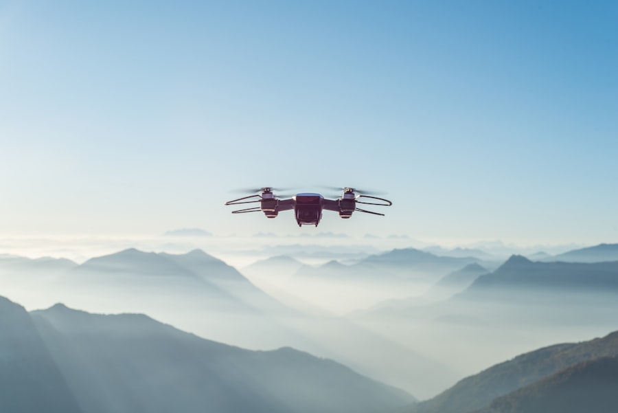
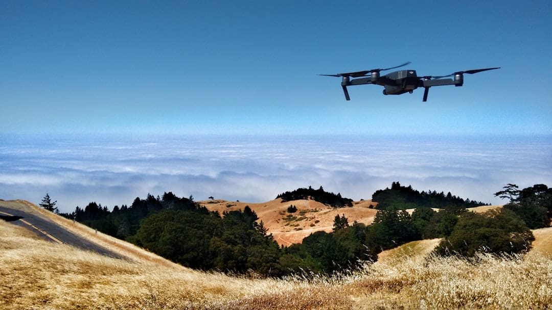
Drones have revolutionized wildlife monitoring by providing an efficient and cost-effective means of surveying vast and often inaccessible areas. Equipped with high-resolution cameras and advanced sensors, these unmanned aerial vehicles can capture detailed images and data that were previously difficult to obtain. For instance, researchers can use drones to monitor animal populations, assess their health, and track their movements without causing disturbance to their natural behaviors.
This non-invasive approach is particularly beneficial for studying sensitive species that may be adversely affected by human presence. Moreover, drones can cover large expanses of land in a fraction of the time it would take traditional ground surveys, allowing for more comprehensive data collection. In addition to monitoring wildlife populations, drones are also instrumental in habitat assessment and restoration efforts.
They can be deployed to map vegetation cover, identify invasive species, and monitor changes in land use over time. This aerial perspective provides conservationists with valuable insights into ecosystem dynamics and helps inform management strategies. Furthermore, the ability to quickly gather data from remote locations enables timely responses to environmental threats such as poaching or habitat degradation.
As drone technology continues to advance, its applications in wildlife monitoring are expected to expand, offering even greater potential for enhancing conservation outcomes.
Satellite Technology for Tracking and Mapping

Satellite technology has become an indispensable tool in the realm of conservation, providing critical data for tracking wildlife movements and mapping ecosystems on a global scale. Satellites equipped with remote sensing capabilities can capture high-resolution images of the Earth’s surface, allowing researchers to monitor changes in land cover, deforestation rates, and habitat fragmentation. This information is vital for understanding the impacts of human activities on biodiversity and for developing effective conservation strategies.
By analyzing satellite imagery over time, scientists can identify trends and patterns that inform policy decisions and resource allocation. Moreover, satellite technology plays a crucial role in tracking migratory species across vast distances. For example, satellite collars fitted on animals such as elephants or sea turtles enable researchers to monitor their movements in real-time, providing insights into their migratory routes and habitat preferences.
This data is essential for identifying critical habitats that require protection and for mitigating human-wildlife conflicts. The ability to track animals over large geographical areas also facilitates international collaboration among conservation organizations, as it allows for coordinated efforts to protect migratory corridors that span multiple countries. As satellite technology continues to evolve, its applications in conservation are likely to expand further, enhancing our understanding of global biodiversity patterns.
Artificial Intelligence in Wildlife Protection
Artificial intelligence (AI) is increasingly being integrated into wildlife protection efforts, offering innovative solutions for monitoring and safeguarding endangered species. Machine learning algorithms can analyze vast amounts of data collected from various sources, such as camera traps or acoustic sensors, to identify patterns and detect anomalies. For instance, AI can be employed to recognize individual animals based on their unique markings or vocalizations, enabling researchers to track populations more accurately.
This capability not only enhances our understanding of species behavior but also aids in assessing their conservation status. Furthermore, AI-driven technologies are proving invaluable in combating poaching and illegal wildlife trade. Predictive analytics can be used to identify high-risk areas for poaching based on historical data and environmental factors.
By deploying resources strategically in these hotspots, conservation organizations can increase their chances of preventing illegal activities. Additionally, AI-powered surveillance systems can analyze real-time data from drones or camera traps to alert rangers of potential threats. This proactive approach allows for quicker responses to poaching incidents and enhances overall wildlife protection efforts.
As AI continues to advance, its potential applications in conservation will likely expand, offering new tools for safeguarding our planet’s biodiversity.
Remote Sensing for Habitat Monitoring
Remote sensing technology has emerged as a powerful tool for habitat monitoring, enabling conservationists to assess ecosystem health and track changes over time. By utilizing satellite imagery and aerial surveys, researchers can gather data on vegetation cover, land use changes, and environmental conditions across large areas. This information is crucial for understanding the impacts of climate change, urbanization, and agricultural expansion on natural habitats.
Remote sensing allows for the identification of critical habitats that require protection and helps prioritize conservation efforts based on ecological significance. In addition to monitoring habitat changes, remote sensing can also facilitate the assessment of restoration projects. By comparing pre- and post-restoration imagery, scientists can evaluate the effectiveness of various interventions aimed at rehabilitating degraded ecosystems.
This data-driven approach not only informs future restoration efforts but also provides valuable insights into best practices for habitat recovery. As remote sensing technology continues to improve in terms of resolution and accessibility, its role in habitat monitoring will become increasingly vital for effective conservation planning.
Geospatial Analysis for Conservation Planning

Geospatial analysis is a critical component of modern conservation planning, allowing researchers to visualize spatial relationships and make informed decisions about resource management. By integrating various data sources—such as satellite imagery, ecological surveys, and socio-economic information—conservationists can create detailed maps that highlight areas of ecological importance or vulnerability. This spatial analysis enables stakeholders to identify priority areas for conservation action and allocate resources more effectively.
Moreover, geospatial analysis facilitates stakeholder engagement by providing visual representations of conservation challenges and opportunities. Interactive mapping tools allow communities to participate in the planning process by identifying local concerns or areas they believe should be prioritized for protection. This collaborative approach fosters a sense of ownership among local populations and enhances the likelihood of successful conservation outcomes.
As geospatial technologies continue to evolve, their applications in conservation planning will become even more sophisticated, enabling more nuanced analyses that account for complex ecological interactions.
Use of GPS and RFID Technology in Animal Tracking
The use of GPS (Global Positioning System) and RFID (Radio Frequency Identification) technology has transformed the way researchers track animal movements and behaviors in the wild. GPS collars provide precise location data that allows scientists to monitor animals over extended periods, revealing insights into their migration patterns, habitat use, and social interactions. This information is invaluable for understanding species ecology and informing management strategies aimed at protecting vulnerable populations.
RFID technology complements GPS tracking by enabling researchers to monitor animal interactions at specific locations or feeding sites. By placing RFID tags on individual animals or within their habitats, scientists can gather data on visitation rates, social dynamics, and resource use without direct observation. This combination of GPS and RFID technologies provides a comprehensive understanding of animal behavior in relation to their environment.
As these technologies continue to advance in terms of size, battery life, and data transmission capabilities, their applications in wildlife tracking will expand further, enhancing our ability to conserve biodiversity.
Conservation Apps for Citizen Science Engagement
The rise of mobile technology has paved the way for innovative conservation apps that engage citizens in scientific research and environmental stewardship. These applications empower individuals to contribute valuable data on local wildlife sightings, habitat conditions, or environmental changes directly from their smartphones. By harnessing the collective efforts of citizen scientists, researchers can gather large datasets that would be challenging to obtain through traditional methods alone.
Moreover, conservation apps often include educational components that raise awareness about local ecosystems and conservation issues. Users can learn about native species, invasive plants, or ongoing conservation projects in their area while actively participating in data collection efforts. This dual approach not only fosters a sense of community involvement but also cultivates a deeper appreciation for nature among users.
As technology continues to evolve, the potential for citizen science engagement through mobile applications will expand further, creating new opportunities for collaboration between scientists and the public in the quest for effective conservation solutions.
If you’re interested in how technology is being leveraged for conservation efforts, you might also find it enlightening to explore the various topics covered by Hacker Noon, which delves into a broad spectrum of technological advancements and their applications across different sectors. For more insights into the intersection of technology and various fields, including environmental conservation, check out their coverage here. This resource can provide a deeper understanding of how innovative tech solutions are being implemented to tackle pressing environmental challenges.
FAQs
What is conservation technology?
Conservation technology refers to the use of various technological tools and innovations to monitor, protect, and preserve the environment and its natural resources.
How is technology used in conservation efforts?
Technology is used in conservation efforts through various means such as satellite imagery, drones, GPS tracking, camera traps, acoustic monitoring, and data analysis to monitor and protect wildlife, track deforestation, and manage natural resources.
What are some examples of tech used in conservation?
Examples of technology used in conservation efforts include satellite imagery for monitoring deforestation, drones for wildlife tracking and anti-poaching efforts, GPS tracking for animal migration studies, camera traps for wildlife monitoring, and acoustic monitoring for studying animal behavior.
What are the benefits of using technology in conservation efforts?
The benefits of using technology in conservation efforts include improved monitoring and data collection, more efficient and cost-effective conservation strategies, enhanced protection of wildlife and natural resources, and better understanding of environmental changes and their impacts.
What are the challenges of using technology in conservation efforts?
Challenges of using technology in conservation efforts include the high cost of some technologies, the need for specialized training and expertise to use certain tools, and potential ethical and privacy concerns related to data collection and monitoring.

