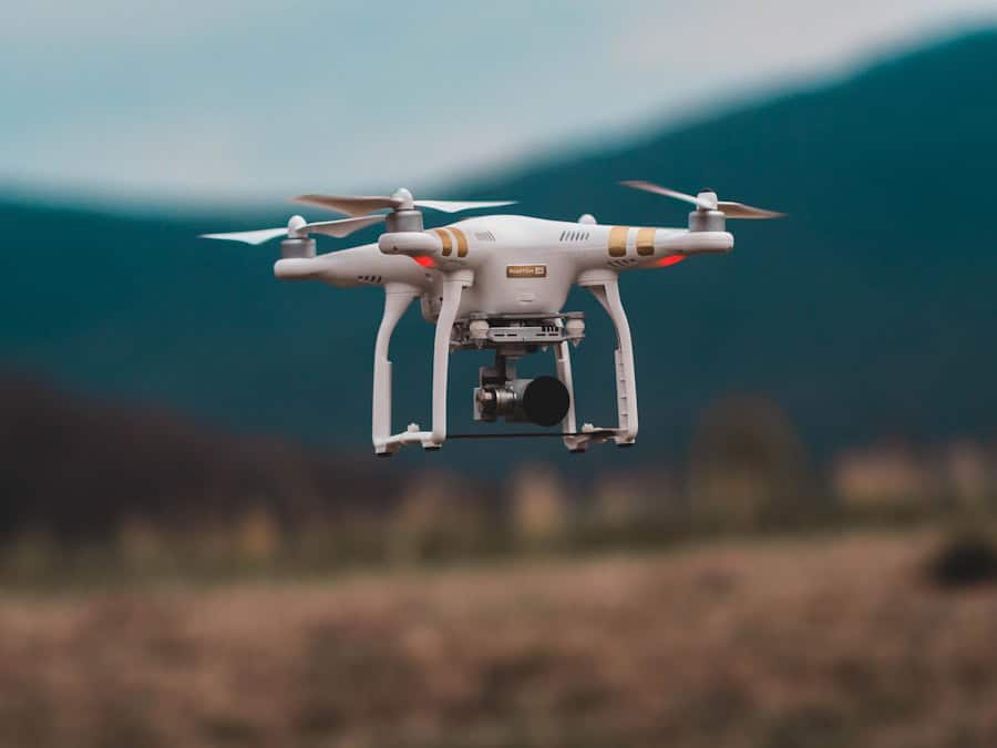
The advent of drone technology has revolutionized various sectors, and disaster response is no exception. Drones, or unmanned aerial vehicles (UAVs), have emerged as critical tools in the arsenal of emergency responders, providing capabilities that were previously unattainable. Their ability to access hard-to-reach areas, gather real-time data, and deliver supplies has made them indispensable in the wake of natural disasters such as earthquakes, floods, and wildfires.
As the frequency and intensity of such disasters increase due to climate change, the integration of drones into disaster response strategies is becoming increasingly vital. Drones can be equipped with a variety of sensors and cameras, enabling them to capture high-resolution images and collect data that can be analyzed to assess damage, locate survivors, and plan recovery efforts. The speed at which drones can be deployed and their ability to operate in hazardous environments make them particularly valuable in situations where traditional methods may be too slow or dangerous.
As technology continues to advance, the potential applications of drones in disaster response are expanding, paving the way for more efficient and effective emergency management.
Key Takeaways
- Drones play a crucial role in disaster response by providing rapid mapping and assessment of affected areas.
- Drones enable rapid mapping of disaster areas, allowing for quick and accurate assessment of the extent of damage and identification of areas in need of assistance.
- The use of drones for mapping disaster areas offers advantages such as accessibility to hard-to-reach areas, cost-effectiveness, and real-time data collection.
- Challenges and limitations of drone mapping in disaster response include regulatory restrictions, limited battery life, and weather conditions.
- Case studies have shown successful drone mapping in disaster response, such as in the aftermath of hurricanes, earthquakes, and wildfires.
The Role of Drones in Rapid Mapping
Introduction to Rapid Mapping
One of the most significant contributions of drones in disaster response is their role in rapid mapping. After a disaster strikes, timely and accurate information is crucial for effective response and recovery efforts. Drones can quickly survey large areas, capturing detailed aerial imagery that can be processed into maps within hours or days.
The Mapping Process and Its Benefits
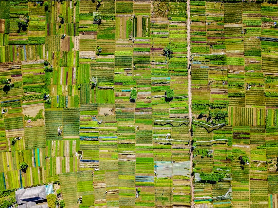
This rapid mapping capability allows emergency responders to assess the extent of damage, identify critical infrastructure that may be compromised, and prioritize areas that require immediate attention. The mapping process typically involves the use of photogrammetry, where overlapping images taken from different angles are processed to create three-dimensional models of the affected area. These models can provide insights into terrain changes, building damage, and even the movement of debris.
Real-World Applications of Drone Mapping
For instance, after the 2015 earthquake in Nepal, drones were deployed to create detailed maps of the affected regions, which were instrumental in guiding rescue operations and rebuilding efforts. The ability to generate up-to-date maps in real-time enhances situational awareness for responders and helps inform decision-making processes.
Enhancing Situational Awareness
The use of drones in rapid mapping has revolutionized the way emergency responders approach disaster response and recovery efforts. By providing timely and accurate information, drones enable responders to make informed decisions, prioritize resources, and ultimately save lives. As technology continues to evolve, the role of drones in disaster response is likely to expand, leading to more effective and efficient response efforts.
Advantages of Using Drones for Mapping Disaster Areas

The advantages of using drones for mapping disaster areas are manifold. First and foremost is their ability to cover vast areas quickly and efficiently. Traditional mapping methods often involve ground surveys that can be time-consuming and labor-intensive.
In contrast, drones can fly over large swathes of land in a fraction of the time, providing comprehensive coverage that is essential in the chaotic aftermath of a disaster. Moreover, drones can operate in environments that may be unsafe for human responders. For example, in the aftermath of a chemical spill or a nuclear incident, drones can be deployed to assess the situation without putting human lives at risk.
They can also reach remote or inaccessible locations where ground vehicles cannot operate due to debris or damaged infrastructure. This capability not only enhances safety but also ensures that critical information is gathered promptly. Another significant advantage is the cost-effectiveness of drone operations.
While initial investments in drone technology may be substantial, the long-term savings associated with reduced manpower and faster data collection can be considerable. Additionally, drones can be equipped with various sensors—such as thermal imaging cameras or LiDAR—allowing for versatile applications beyond just visual mapping. This adaptability makes them a valuable asset for emergency management agencies looking to maximize their resources during disaster response efforts.
Challenges and Limitations of Drone Mapping in Disaster Response
Despite their numerous advantages, drone mapping in disaster response is not without challenges and limitations. One major concern is regulatory compliance. The use of drones is subject to strict regulations that vary by country and region.
In many cases, obtaining the necessary permits for drone flights in disaster zones can be a lengthy process that delays critical mapping efforts. Furthermore, airspace restrictions may limit drone operations, particularly in areas near airports or military installations. Technical limitations also pose challenges for drone mapping.
While drones are capable of capturing high-resolution imagery, factors such as weather conditions can significantly impact their performance. High winds, rain, or low visibility can hinder flight operations and affect data quality. Additionally, battery life remains a constraint; most consumer-grade drones have limited flight times, which can restrict the area that can be mapped in a single mission.
This necessitates careful planning and coordination to ensure that mapping objectives are met within these constraints. Another challenge lies in data processing and analysis. The volume of data collected by drones can be overwhelming, requiring sophisticated software and skilled personnel to interpret the information accurately.
In disaster scenarios where time is of the essence, delays in data processing can impede response efforts. Therefore, investing in training and technology to streamline data analysis is crucial for maximizing the effectiveness of drone mapping initiatives.
Case Studies of Successful Drone Mapping in Disaster Response
Several case studies illustrate the successful application of drone mapping in disaster response scenarios. One notable example occurred during Hurricane Harvey in 2017 when Texas experienced unprecedented flooding. Emergency responders utilized drones to map flooded areas quickly, providing real-time data that informed rescue operations and resource allocation.
The aerial imagery captured by drones allowed officials to identify neighborhoods that were severely affected and prioritize them for assistance. Another compelling case took place after the 2018 earthquake and tsunami in Sulawesi, Indonesia. Drones were deployed to assess damage across affected regions, capturing detailed images that were used to create 3D models of devastated areas.
This information was crucial for humanitarian organizations working on recovery efforts, as it enabled them to understand the scale of destruction and plan their interventions accordingly. The rapid mapping facilitated by drones played a pivotal role in coordinating relief efforts and ensuring that aid reached those who needed it most. In addition to natural disasters, drones have also been employed effectively in industrial accidents.
For instance, after the explosion at a chemical plant in Texas City in 2005, drones were used to map the site and assess damage without endangering human lives. The aerial surveys provided critical information about hazardous materials on-site and helped responders develop a safe plan for containment and cleanup.
Integration of Drone Mapping with Other Technologies for Disaster Response

The integration of drone mapping with other technologies enhances its effectiveness in disaster response scenarios. One such technology is Geographic Information Systems (GIS), which allows for the analysis and visualization of spatial data collected by drones. By combining drone imagery with GIS tools, responders can create layered maps that incorporate various data sets—such as population density, infrastructure locations, and hazard zones—providing a comprehensive view of the situation on the ground.
Additionally, drones can be integrated with artificial intelligence (AI) algorithms to automate data analysis processes. AI can assist in identifying patterns within large datasets, such as detecting changes in land use or assessing damage levels across different structures. This capability not only speeds up analysis but also improves accuracy by minimizing human error.
Furthermore, real-time communication technologies enable seamless coordination among various stakeholders involved in disaster response efforts. Drones equipped with communication systems can relay information back to command centers instantly, allowing for rapid decision-making based on current conditions. This integration fosters collaboration among emergency services, government agencies, and non-governmental organizations (NGOs), ensuring a more unified response to disasters.
Ethical and Legal Considerations in the Use of Drones for Mapping Disaster Areas
The deployment of drones for mapping disaster areas raises several ethical and legal considerations that must be addressed to ensure responsible use. Privacy concerns are paramount; aerial imagery captured by drones may inadvertently include images of individuals or private property without consent. This raises questions about surveillance and the potential misuse of data collected during disaster response operations.
Moreover, there are legal implications regarding airspace usage and liability issues related to drone operations. Operators must navigate complex regulations governing drone flights, particularly in sensitive areas where airspace may be restricted due to ongoing rescue operations or military activities. Ensuring compliance with these regulations is essential not only for legal protection but also for maintaining public trust in drone technology.
Ethical considerations also extend to data sharing practices. The information collected by drones during disaster response should be handled transparently and responsibly. Stakeholders must establish protocols for data sharing that respect individuals’ rights while ensuring that critical information is accessible to those involved in recovery efforts.
Balancing transparency with privacy concerns is crucial for fostering community trust and cooperation during challenging times.
Future Developments and Trends in Drone Mapping for Disaster Response
As technology continues to evolve, several trends are emerging that will shape the future of drone mapping in disaster response. One significant development is the advancement of autonomous drone systems capable of conducting missions without direct human control. These autonomous drones could operate based on pre-programmed flight paths or respond dynamically to changing conditions on the ground, enhancing efficiency during time-sensitive operations.
Another trend is the increasing use of machine learning algorithms to improve data processing capabilities. As AI technology matures, it will enable drones to analyze collected data on-the-fly, providing real-time insights that can inform decision-making during disaster response efforts. This capability could significantly reduce the time required for data analysis and enhance situational awareness for responders.
Additionally, there is a growing emphasis on collaboration between public agencies and private companies specializing in drone technology. Partnerships between government entities and tech firms can facilitate knowledge sharing and resource pooling, leading to more effective disaster response strategies. As more organizations recognize the value of drone technology in emergency management, investment in research and development will likely increase, driving innovation within this field.
In conclusion, the integration of drone technology into disaster response represents a transformative shift in how emergencies are managed. With their ability to rapidly map affected areas and provide critical data for decision-making, drones are becoming essential tools for emergency responders worldwide. As advancements continue to unfold, addressing ethical considerations and regulatory challenges will be crucial for maximizing their potential while ensuring responsible use.
For businesses looking to enhance their productivity in disaster response efforts, investing in the best tablets for business in 2023 could be a game-changer. These tablets offer advanced features and capabilities that can streamline communication, data collection, and mapping tasks in disaster-stricken areas. By utilizing drones for faster mapping, organizations can leverage the power of technology to improve their response times and effectiveness in emergency situations. To learn more about the latest trends in technology, check out this article on the best tablets for business in 2023.
FAQs
What are drones?
Drones, also known as unmanned aerial vehicles (UAVs), are aircraft that are operated without a human pilot on board. They can be controlled remotely by a human operator or autonomously by onboard computers.
How do drones enable faster mapping of disaster-stricken areas?
Drones equipped with cameras and other sensors can quickly and efficiently capture high-resolution images and data of disaster-stricken areas. This information can be used to create detailed maps and 3D models, allowing for better assessment of the damage and more effective disaster response planning.
What are the benefits of using drones for mapping disaster-stricken areas?
Using drones for mapping disaster-stricken areas offers several benefits, including rapid data collection, cost-effectiveness, and the ability to access hard-to-reach or dangerous areas. Drones also provide real-time information, which can help emergency responders make informed decisions and prioritize their efforts.
What types of disasters can drones be used to map?
Drones can be used to map a wide range of disasters, including natural disasters such as earthquakes, floods, and wildfires, as well as man-made disasters like industrial accidents and infrastructure failures.
Are there any limitations to using drones for mapping disaster-stricken areas?
While drones offer many advantages for mapping disaster-stricken areas, there are some limitations to consider. These may include restrictions on flying in certain airspace, limitations on flight time and battery life, and the need for skilled operators to ensure safe and effective use of the technology.

