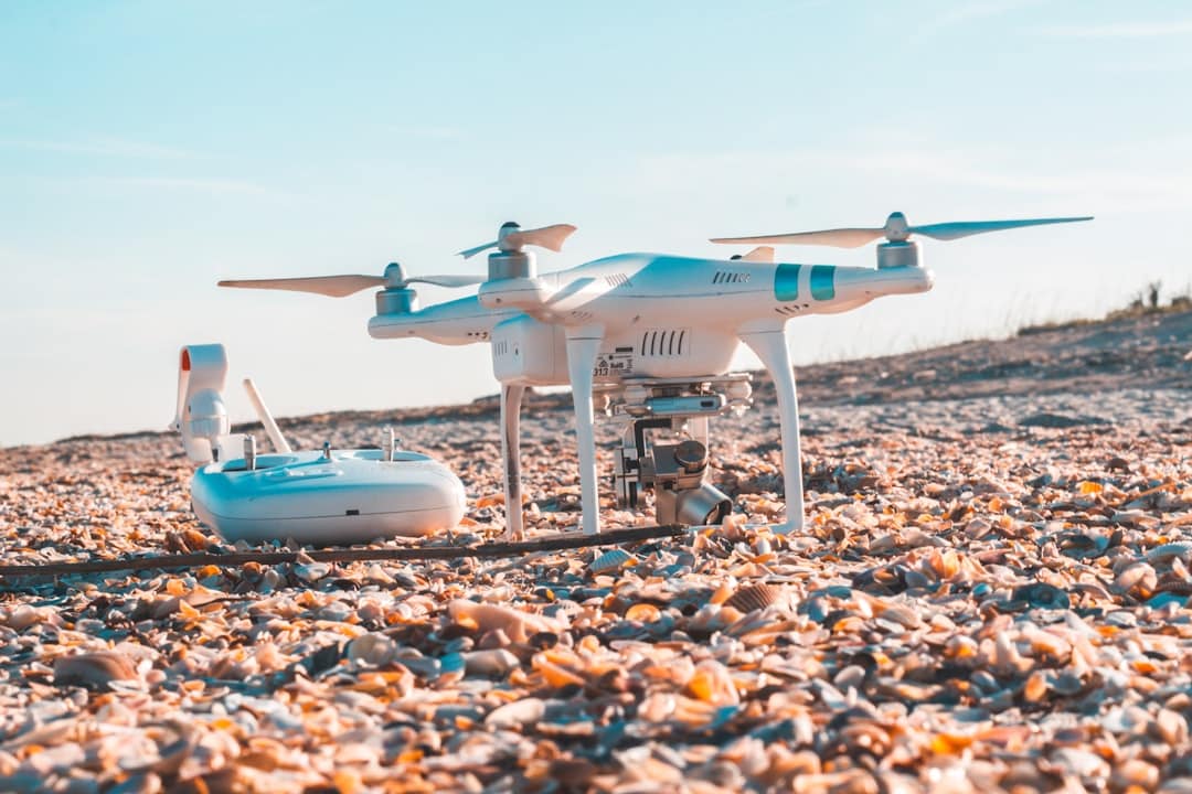
The advent of drone technology has revolutionized various sectors, and environmental monitoring is no exception. Drones, or unmanned aerial vehicles (UAVs), have emerged as powerful tools for collecting data and conducting assessments in a range of ecological contexts. Their ability to access hard-to-reach areas, gather high-resolution imagery, and operate with minimal human intervention makes them particularly valuable in environmental science.
As concerns about climate change, biodiversity loss, and habitat degradation intensify, the role of drones in monitoring these changes has become increasingly critical. Drones equipped with advanced sensors and imaging technology can capture data across multiple spectrums, including visible light, infrared, and multispectral wavelengths.
The integration of drone technology into environmental monitoring not only enhances the precision and efficiency of data collection but also enables real-time analysis, which is essential for timely decision-making in conservation efforts.
Key Takeaways
- Drones are increasingly being used for environmental monitoring due to their ability to access remote and hazardous areas.
- Advantages of using drones for environmental monitoring include cost-effectiveness, efficiency, and the ability to collect high-resolution data.
- Drones are used in environmental monitoring for applications such as wildlife tracking, habitat mapping, pollution detection, and disaster response.
- Challenges and limitations of using drones for environmental monitoring include limited flight time, regulatory restrictions, and data processing issues.
- Case studies of successful drone-based environmental monitoring include the use of drones for monitoring deforestation, tracking endangered species, and assessing water quality.
Advantages of Using Drones for Environmental Monitoring
One of the most significant advantages of using drones for environmental monitoring is their ability to cover large areas quickly and efficiently. Traditional methods of data collection, such as ground surveys or satellite imagery, can be time-consuming and may not provide the level of detail required for certain studies. Drones can fly at low altitudes and capture high-resolution images, allowing researchers to gather detailed information about specific sites without the logistical challenges associated with ground-based methods.
This efficiency is particularly beneficial in remote or inaccessible regions where traditional monitoring would be impractical. Moreover, drones can be equipped with a variety of sensors tailored to specific monitoring needs. For instance, thermal cameras can detect temperature variations in water bodies, while multispectral sensors can assess plant health by analyzing chlorophyll levels.
This versatility enables researchers to customize their data collection strategies based on the unique requirements of their studies. Additionally, drones can operate in diverse weather conditions and at different times of day, providing flexibility that enhances the overall effectiveness of environmental monitoring efforts.
Applications of Drones in Environmental Monitoring

Drones have found applications across a wide range of environmental monitoring activities. In forestry management, for example, drones are used to assess tree health, monitor deforestation rates, and map forest boundaries. By capturing high-resolution aerial imagery, researchers can identify areas affected by pests or diseases and implement targeted interventions.
This proactive approach not only helps in maintaining forest health but also contributes to carbon sequestration efforts by ensuring that forests remain intact. In marine environments, drones are increasingly utilized for monitoring coral reefs and marine biodiversity. Equipped with underwater cameras and sensors, drones can survey reef structures and assess coral health without the need for divers.
This non-invasive method minimizes disturbance to marine life while providing critical data on reef conditions. Furthermore, drones can track the movement of marine species, such as sea turtles or dolphins, offering insights into their behavior and habitat use that would be difficult to obtain through traditional methods.
Challenges and Limitations of Using Drones for Environmental Monitoring
Despite their numerous advantages, the use of drones in environmental monitoring is not without challenges. One significant limitation is the regulatory landscape surrounding drone operations. Many countries have strict regulations governing the use of UAVs, particularly in sensitive areas such as national parks or wildlife reserves.
Navigating these regulations can be complex and may hinder researchers’ ability to deploy drones effectively. Additionally, obtaining the necessary permits can be time-consuming, delaying critical data collection efforts. Another challenge lies in the technical limitations of drone technology itself.
While drones are capable of capturing high-resolution images, factors such as battery life and payload capacity can restrict their operational range and duration. For instance, most consumer-grade drones have a flight time of approximately 20 to 30 minutes before needing a recharge or battery replacement. This limitation can pose difficulties when attempting to cover extensive areas or conduct prolonged monitoring sessions.
Furthermore, adverse weather conditions such as high winds or rain can impede drone operations, necessitating careful planning and scheduling.
Case Studies of Successful Drone-based Environmental Monitoring
Several case studies illustrate the successful application of drones in environmental monitoring across various contexts. One notable example is the use of drones in monitoring the effects of climate change on Arctic ecosystems. Researchers deployed drones equipped with thermal imaging cameras to assess changes in snow cover and ice melt patterns in Greenland.
The data collected provided valuable insights into how rising temperatures are affecting local wildlife habitats and contributed to broader climate change research efforts. Another compelling case study involves the use of drones for monitoring illegal logging activities in tropical rainforests. In Brazil, conservation organizations have employed drones to conduct aerial surveys of protected areas, identifying instances of deforestation and illegal logging operations.
By capturing high-resolution images and mapping changes over time, these organizations have been able to provide evidence for legal actions against offenders and advocate for stronger conservation measures. This proactive approach demonstrates how drone technology can empower conservation efforts and enhance environmental protection.
Future Developments and Trends in Drone-based Environmental Monitoring

The future of drone-based environmental monitoring is poised for significant advancements as technology continues to evolve. One promising trend is the integration of artificial intelligence (AI) and machine learning algorithms into drone operations. These technologies can enhance data analysis capabilities by automating image processing and enabling real-time decision-making based on collected data.
For instance, AI algorithms can be trained to identify specific plant species or detect signs of disease in crops from aerial imagery, streamlining the monitoring process. Additionally, advancements in drone design are likely to improve their efficiency and capabilities further. Innovations such as longer battery life, increased payload capacity, and enhanced sensor technology will enable drones to conduct more extensive surveys with greater accuracy.
The development of swarming technology—where multiple drones operate collaboratively—could also revolutionize environmental monitoring by allowing for simultaneous data collection over larger areas.
Regulations and Ethical Considerations for Drone Use in Environmental Monitoring
As drone technology becomes more prevalent in environmental monitoring, it is essential to address the regulatory frameworks that govern their use. Many countries have established guidelines to ensure safe drone operations while protecting sensitive ecosystems and wildlife habitats. Researchers must navigate these regulations carefully to avoid potential legal issues while conducting their studies.
Engaging with local authorities and conservation organizations can facilitate compliance with regulations and promote responsible drone use. Ethical considerations also play a crucial role in the deployment of drones for environmental monitoring. Researchers must consider the potential impact of drone operations on wildlife behavior and habitats.
For example, flying drones too close to nesting sites may disturb birds or other animals during critical breeding periods. To mitigate these risks, it is essential to establish best practices for drone operation that prioritize minimal disturbance to wildlife while still achieving research objectives.
The Impact of Drones on Environmental Monitoring
The integration of drones into environmental monitoring represents a transformative shift in how researchers collect data and assess ecological conditions. With their ability to cover vast areas quickly and gather high-resolution imagery across various spectrums, drones have become indispensable tools for understanding complex environmental issues. As technology continues to advance, the potential applications for drones in this field will only expand further.
The impact of drones on environmental monitoring extends beyond mere data collection; they empower researchers to make informed decisions that can lead to effective conservation strategies and policy changes. By harnessing the capabilities of drone technology responsibly and ethically, scientists can contribute significantly to our understanding of ecosystems and the challenges they face in an ever-changing world.
In the rapidly evolving field of environmental monitoring, drones have emerged as a transformative technology, offering unprecedented capabilities for data collection and analysis. These unmanned aerial vehicles are being utilized to monitor wildlife, track deforestation, and assess the impacts of climate change with greater efficiency and accuracy than traditional methods. For those interested in exploring other technological advancements that are reshaping industries, the article on the best software for small businesses in 2023 provides insights into how software innovations are empowering small enterprises to optimize their operations and enhance productivity. Both drones in environmental monitoring and software solutions for businesses highlight the significant role technology plays in driving progress across various sectors.
FAQs
What are drones?
Drones, also known as unmanned aerial vehicles (UAVs), are aircraft that are operated without a human pilot on board. They can be controlled remotely by a human operator or autonomously by onboard computers.
How are drones used in environmental monitoring?
Drones are used in environmental monitoring to collect data on various aspects of the environment, such as air quality, water quality, wildlife populations, and habitat conditions. They can be equipped with sensors and cameras to gather information from hard-to-reach or hazardous areas.
What are the benefits of using drones for environmental monitoring?
Using drones for environmental monitoring can provide several benefits, including cost-effectiveness, efficiency, and the ability to access remote or inaccessible areas. Drones can also reduce the need for human presence in sensitive environments, minimizing disturbance to wildlife and ecosystems.
What types of environmental data can drones collect?
Drones can collect a wide range of environmental data, including aerial imagery, thermal imaging, water and soil samples, atmospheric measurements, and wildlife tracking information. This data can be used to assess environmental conditions, monitor changes over time, and inform conservation and management efforts.
Are there any limitations to using drones for environmental monitoring?
While drones offer many advantages for environmental monitoring, there are also limitations to consider. These may include restrictions on flight regulations, limitations in payload capacity and battery life, and challenges in data processing and analysis. Additionally, drones may have limited capabilities in certain weather conditions or environments.
What are some examples of how drones are currently being used for environmental monitoring?
Drones are being used in a variety of environmental monitoring applications, such as monitoring deforestation and illegal logging, tracking wildlife populations, assessing the impact of natural disasters, mapping and surveying ecosystems, and monitoring air and water quality in urban and rural areas.