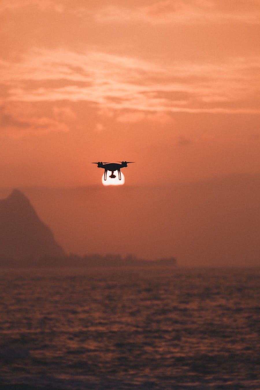
Drones, or unmanned aerial vehicles (UAVs), have revolutionized various fields, including environmental research, wildlife conservation, and disaster management. Their ability to access hard-to-reach areas makes them particularly valuable in the context of remote islands, which often present unique challenges due to their isolation and diverse ecosystems. These islands, ranging from the lush tropical paradises of the Pacific to the stark, windswept landscapes of the Arctic, are often home to fragile ecosystems that require careful monitoring and management.
The integration of drone technology into research and conservation efforts on these islands has opened new avenues for data collection, analysis, and intervention. The use of drones in remote island research is not merely a technological advancement; it represents a paradigm shift in how scientists and conservationists approach their work. Traditional methods of data collection, such as ground surveys and manned aircraft, can be time-consuming, expensive, and sometimes dangerous.
Drones offer a safer, more efficient alternative, allowing researchers to gather high-resolution imagery and data without disturbing the delicate balance of island ecosystems. As the capabilities of drone technology continue to evolve, their applications in remote island research are becoming increasingly sophisticated, enabling more comprehensive studies of wildlife, habitats, and environmental changes.
Key Takeaways
- Drones play a crucial role in conducting research and monitoring activities on remote islands.
- Drones are used for monitoring wildlife, ecosystems, and climate change effects on remote islands.
- Drones are effective in mapping, surveying, and delivering supplies to remote research stations on islands.
- Drones are valuable tools for conducting search and rescue missions and monitoring volcanic activity and natural disasters on remote islands.
- Despite challenges and limitations, drones are increasingly being used to overcome logistical and accessibility issues in remote island research.
Monitoring Wildlife and Ecosystems
One of the most significant applications of drones in remote island research is wildlife monitoring. Drones equipped with high-resolution cameras and thermal imaging sensors can capture detailed images of animal populations without the need for intrusive ground surveys. For instance, researchers studying seabird populations on remote islands can use drones to conduct aerial surveys that provide insights into nesting sites, population dynamics, and behavioral patterns.
This non-invasive approach minimizes human disturbance, which is crucial for species that are sensitive to human presence. In addition to monitoring specific species, drones can also be employed to assess the health of entire ecosystems. By capturing multispectral images, researchers can analyze vegetation health, identify invasive species, and monitor changes in land cover over time.
For example, on islands where invasive plant species threaten native flora, drones can help identify areas where these invaders are spreading, allowing for targeted management efforts. The ability to collect data over large areas quickly and efficiently enables scientists to develop a more comprehensive understanding of ecosystem dynamics and the factors that influence biodiversity.
Mapping and Surveying Remote Islands

Mapping remote islands has traditionally been a labor-intensive process requiring extensive fieldwork and manual data collection. Drones have transformed this process by providing rapid and accurate mapping capabilities that can be conducted from the air. Equipped with advanced GPS technology and photogrammetry software, drones can create high-resolution topographic maps that reveal intricate details about the island’s geography.
This information is invaluable for researchers studying landforms, erosion patterns, and habitat distribution. Moreover, drone mapping can facilitate the creation of 3D models of landscapes, which can be used for various applications, including habitat modeling and environmental impact assessments. For instance, researchers studying coastal erosion on an island can use drone-generated 3D models to visualize changes over time and predict future erosion patterns.
This data is essential for developing effective conservation strategies and informing policy decisions related to land use and resource management.
Studying Climate Change and Its Effects
Remote islands are often at the forefront of climate change impacts due to their geographical isolation and vulnerability to rising sea levels, increased storm intensity, and changing weather patterns. Drones play a crucial role in studying these effects by providing real-time data on environmental changes. For example, researchers can use drones to monitor coastal erosion rates and assess how rising sea levels are affecting shorelines.
By capturing images over time, scientists can analyze trends and make predictions about future changes.
By collecting multispectral data, researchers can assess shifts in plant health and distribution that may indicate broader ecological changes.
For instance, on islands experiencing increased temperatures or altered precipitation patterns, drones can help identify areas where native species are struggling or where invasive species are thriving. This information is critical for developing adaptive management strategies that address the challenges posed by climate change.
Delivering Supplies and Equipment to Remote Research Stations
The logistical challenges of conducting research on remote islands often include difficulties in transporting supplies and equipment. Drones offer a practical solution for delivering essential items to research stations that may be inaccessible by traditional means. For example, during field studies on isolated islands, researchers may require specialized equipment or supplies that are difficult to transport by boat or helicopter.
Drones can efficiently deliver these items directly to the research site, saving time and reducing costs. In addition to delivering supplies, drones can also facilitate communication between research teams stationed on different parts of an island or between islands. By enabling real-time data sharing and collaboration, drones enhance the overall efficiency of research efforts.
This capability is particularly valuable in emergency situations where rapid response is necessary, such as during natural disasters or when urgent repairs are needed at research facilities.
Conducting Search and Rescue Missions

Drones have proven to be invaluable tools in search and rescue operations on remote islands. Their ability to cover large areas quickly makes them ideal for locating missing persons or assessing damage after natural disasters.
This capability significantly increases the chances of successful rescues while minimizing risks to search teams. In addition to locating individuals in distress, drones can also assist in assessing the overall impact of disasters on remote islands. After a hurricane or tsunami strikes an island community, drones can provide aerial imagery that helps emergency responders evaluate damage to infrastructure and natural resources.
This information is crucial for coordinating relief efforts and prioritizing areas that require immediate attention.
Monitoring Volcanic Activity and Natural Disasters
Many remote islands are located in volcanic regions where monitoring volcanic activity is essential for public safety and environmental protection. Drones equipped with specialized sensors can provide real-time data on volcanic eruptions, ash plumes, and gas emissions without putting human lives at risk. For instance, researchers studying an active volcano on a remote island can deploy drones to collect atmospheric samples or capture images of lava flows from a safe distance.
In addition to monitoring active volcanoes, drones can also be used to assess the aftermath of volcanic eruptions. By capturing high-resolution imagery before and after an event, scientists can analyze changes in landscape features and vegetation cover caused by volcanic activity. This information is vital for understanding the ecological impacts of eruptions and developing strategies for recovery and rehabilitation.
Overcoming Challenges and Limitations of Drone Use in Remote Island Research
Despite their numerous advantages, the use of drones in remote island research is not without challenges. One significant limitation is battery life; many drones have limited flight times due to battery constraints, which can restrict their operational range and duration in remote areas. Researchers must carefully plan their missions to ensure that drones can complete their tasks within these limitations while also considering factors such as weather conditions that may affect flight performance.
Another challenge is regulatory compliance; many countries have strict regulations governing drone use, particularly in sensitive environments like remote islands. Researchers must navigate these regulations while ensuring that their drone operations do not disturb wildlife or disrupt local communities. Additionally, technical issues such as signal loss or equipment malfunctions can pose risks during critical missions.
To mitigate these challenges, ongoing training for operators and investment in robust drone technology are essential for maximizing the effectiveness of drone applications in remote island research. In conclusion, while drones present remarkable opportunities for advancing research on remote islands through wildlife monitoring, mapping, climate studies, supply delivery, search and rescue operations, volcanic monitoring, and more, addressing their limitations will be crucial for fully realizing their potential in this unique field of study.
A related article discussing the importance of technology in research is “Boost Your Content with NeuronWriter SEO NLP Optimization.” This article highlights how advancements in technology, such as natural language processing, can enhance the quality and reach of scientific research. By utilizing tools like NeuronWriter, researchers can optimize their content for search engines and increase its visibility to a wider audience. This demonstrates how technology, like drones in remote islands, plays a crucial role in supporting and advancing scientific research. To learn more about NeuronWriter, visit here.
FAQs
What are drones?
Drones, also known as unmanned aerial vehicles (UAVs), are aircraft that are operated without a human pilot on board. They can be controlled remotely by a human operator or autonomously by onboard computers.
How are drones supporting scientific research in remote islands?
Drones are being used to support scientific research in remote islands by providing a cost-effective and efficient way to collect data. They can be equipped with various sensors and cameras to gather information on wildlife, vegetation, and environmental conditions without the need for human researchers to physically access these remote and often inaccessible locations.
What types of scientific research are drones supporting in remote islands?
Drones are supporting a wide range of scientific research in remote islands, including studies on biodiversity, habitat mapping, climate change monitoring, and ecological conservation. They are also being used for wildlife tracking, population surveys, and environmental impact assessments.
What are the advantages of using drones for scientific research in remote islands?
Using drones for scientific research in remote islands offers several advantages, including the ability to access hard-to-reach areas, reduce the risk to human researchers, minimize disturbance to wildlife, and collect high-resolution data at a fraction of the cost and time compared to traditional methods.
Are there any limitations to using drones for scientific research in remote islands?
While drones offer many benefits for scientific research in remote islands, there are also limitations to consider. These may include restrictions on flight regulations, limited battery life and payload capacity, as well as the need for skilled operators and data analysis expertise. Additionally, adverse weather conditions and rugged terrain can pose challenges for drone operations in remote island environments.