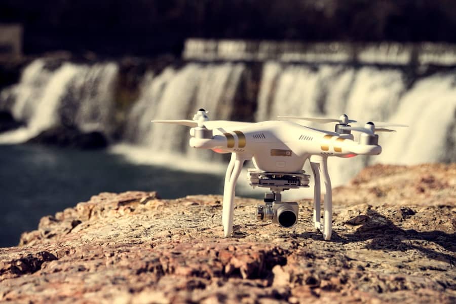
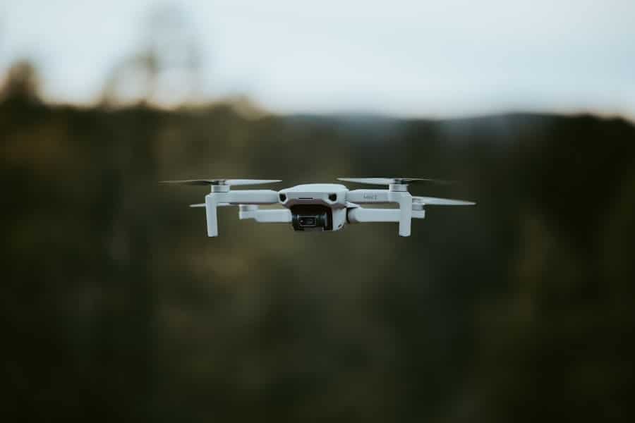
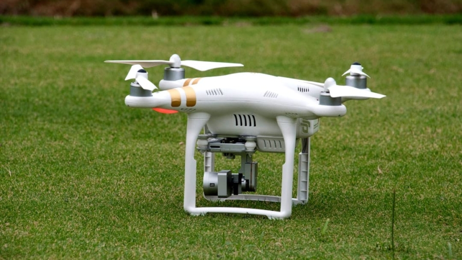
The advent of drone technology has revolutionized various sectors, and disaster response is no exception. Drones, or unmanned aerial vehicles (UAVs), have emerged as critical tools in emergency management, providing unique capabilities that enhance the efficiency and effectiveness of disaster response efforts. Their ability to access hard-to-reach areas, gather real-time data, and operate in hazardous environments makes them invaluable during crises such as natural disasters, industrial accidents, and humanitarian emergencies.
As the frequency and intensity of disasters increase due to climate change and urbanization, the integration of drones into disaster response strategies is becoming increasingly essential. Drones can be equipped with a variety of sensors and cameras, enabling them to perform multiple functions that are crucial in disaster scenarios. From high-resolution imaging to thermal sensing, these devices can provide critical information that aids in decision-making processes.
The versatility of drones allows them to be deployed in various roles, including search and rescue operations, damage assessments, and the delivery of emergency supplies. As technology continues to advance, the potential applications of drones in disaster response are expanding, promising to enhance the capabilities of first responders and improve outcomes for affected communities.
Key Takeaways
- Drones play a crucial role in disaster response by providing valuable support in various operations.
- Search and rescue operations benefit from the use of drones for locating and reaching survivors in hard-to-reach areas.
- Aerial damage assessment using drones allows for quick and accurate evaluation of the extent of destruction in disaster-stricken areas.
- Drones facilitate the delivery of emergency supplies to affected areas, especially in situations where traditional methods are not feasible.
- Monitoring and mapping disaster areas using drones helps in gaining real-time situational awareness and planning effective response strategies.
Search and Rescue Operations
One of the most significant applications of drones in disaster response is their role in search and rescue operations. In the aftermath of a disaster, locating survivors can be a daunting task, especially in areas that are inaccessible or dangerous for human responders. Drones equipped with thermal imaging cameras can detect body heat, allowing search teams to identify individuals trapped under debris or lost in remote locations.
For instance, during the 2015 earthquake in Nepal, drones were deployed to locate survivors in areas that were otherwise unreachable due to landslides and damaged infrastructure. Moreover, drones can cover vast areas quickly, significantly reducing the time it takes to conduct search operations. Traditional search methods often rely on ground teams that may take hours or even days to comb through affected regions.
This rapid assessment capability was notably demonstrated during Hurricane Harvey in 2017 when drones were used to locate stranded individuals in flooded neighborhoods, enabling swift rescue operations.
Aerial Damage Assessment

Following a disaster, assessing the extent of damage is crucial for effective recovery planning and resource allocation. Drones offer a unique advantage in this regard by providing high-resolution aerial imagery that can be analyzed to determine the impact of the disaster on infrastructure and the environment. This capability allows emergency management agencies to create detailed maps that highlight areas requiring immediate attention.
For example, after the devastating wildfires in California, drones were employed to capture images of the affected landscapes. These images were processed using photogrammetry techniques to create 3D models of the terrain, revealing not only the extent of destruction but also identifying potential hazards such as unstable ground or remaining hotspots. Such detailed assessments enable authorities to make informed decisions about where to deploy resources and how to plan for recovery efforts effectively.
Additionally, drones can facilitate ongoing damage assessments over time. As recovery progresses, aerial surveys can be conducted periodically to monitor changes in the landscape and infrastructure. This continuous monitoring helps identify emerging issues that may arise during the recovery phase, ensuring that response efforts remain adaptive and responsive to evolving conditions.
Delivery of Emergency Supplies
In disaster scenarios where traditional supply routes are compromised or inaccessible, drones can serve as a lifeline by delivering essential supplies directly to those in need. The ability to transport medical supplies, food, water, and other critical items quickly can make a significant difference in saving lives during emergencies. Drones can bypass obstacles such as flooded roads or collapsed bridges, reaching isolated communities that may otherwise be cut off from assistance.
A notable example of this application occurred during the Ebola outbreak in West Africa when drones were used to deliver medical supplies and vaccines to remote villages. The use of UAVs not only expedited the delivery process but also minimized the risk of exposure for healthcare workers who would have otherwise traveled through potentially hazardous areas. This innovative approach demonstrated how drones could enhance logistical capabilities in crisis situations.
Furthermore, as drone technology continues to evolve, the payload capacity and range of these devices are improving. Companies like Zipline have pioneered drone delivery systems that can transport larger quantities of medical supplies over longer distances. Their operations in countries like Rwanda and Ghana have successfully demonstrated how drones can bridge gaps in healthcare logistics, particularly in rural areas where access is limited.
Monitoring and Mapping Disaster Areas
Drones play a pivotal role in monitoring and mapping disaster-affected areas before, during, and after an event. Their ability to capture real-time data allows emergency responders to gain insights into changing conditions on the ground. For instance, during flooding events, drones can be deployed to monitor water levels and assess the movement of floodwaters, providing critical information for evacuation planning and resource allocation.
In addition to immediate monitoring needs, drones can assist in creating comprehensive maps that inform long-term recovery efforts. By utilizing advanced mapping technologies such as LiDAR (Light Detection and Ranging), drones can generate highly accurate topographical maps that reveal changes in land use and infrastructure over time. This data is invaluable for urban planners and disaster management agencies as they work to rebuild communities more resiliently.
Moreover, drones equipped with multispectral sensors can assess environmental impacts following a disaster. For example, after a hurricane or wildfire, these sensors can evaluate vegetation health and soil conditions, providing insights into ecological recovery processes. This information is crucial for developing strategies that promote environmental restoration while ensuring community safety.
Communication and Connectivity Support

Restoring Connectivity
Drones can serve as temporary communication relays or mobile hotspots, restoring connectivity in areas where traditional infrastructure has been compromised. By deploying drones equipped with communication technology, emergency responders can establish communication links between affected communities and response teams.
Drones were utilized to create ad-hoc communication networks that allowed residents to connect with emergency services and receive updates on recovery efforts. This capability not only facilitated coordination among responders but also empowered individuals to seek help when needed.
Disseminating Critical Information
Additionally, drones can assist in disseminating information to affected populations. Equipped with loudspeakers or visual displays, they can broadcast important messages regarding safety protocols, evacuation routes, or available resources. This innovative approach ensures that critical information reaches those who may not have access to traditional media channels during a crisis.
Environmental Monitoring and Assessment
The environmental impact of disasters extends beyond immediate human concerns; it also encompasses ecological health and sustainability. Drones equipped with specialized sensors can monitor environmental conditions before and after disasters occur, providing valuable data for assessing ecological damage and recovery efforts. For example, after a major oil spill or chemical leak, drones can be deployed to assess contamination levels in soil and water bodies.
Furthermore, drones can play a crucial role in monitoring wildlife populations affected by disasters. By capturing aerial footage and employing thermal imaging technology, researchers can track animal movements and behaviors following events such as wildfires or floods. This information is essential for developing conservation strategies that support wildlife recovery while addressing human-wildlife conflicts that may arise during the rebuilding process.
In addition to immediate assessments, drones can contribute to long-term environmental monitoring initiatives. By regularly surveying ecosystems over time, researchers can identify trends related to climate change impacts or habitat degradation caused by human activities. This data is invaluable for informing policy decisions aimed at promoting environmental resilience and sustainability.
Challenges and Future Developments in Drone Use for Disaster Response
Despite their numerous advantages, the use of drones in disaster response is not without challenges. Regulatory hurdles pose significant barriers to widespread adoption; many countries have strict regulations governing drone operations that can hinder their deployment during emergencies. Navigating airspace restrictions and obtaining necessary permits can delay response efforts when time is of the essence.
Moreover, technical limitations such as battery life and payload capacity continue to pose challenges for drone operators. While advancements are being made in battery technology and drone design, ensuring that UAVs can operate effectively over extended periods remains a concern. Additionally, adverse weather conditions such as high winds or heavy rain can limit drone functionality and hinder their ability to perform critical tasks.
Looking ahead, future developments in drone technology hold promise for enhancing their role in disaster response further. Innovations such as autonomous flight capabilities could enable drones to operate without direct human control, allowing for more efficient data collection and delivery operations. Furthermore, advancements in artificial intelligence could enhance data analysis capabilities, enabling responders to derive actionable insights from aerial imagery more quickly.
As collaboration between governments, private companies, and research institutions continues to grow, the potential applications of drones in disaster response will likely expand even further. By addressing existing challenges and leveraging technological advancements, drones have the potential to become indispensable tools in safeguarding lives and promoting resilience in the face of disasters.
A related article to how drones are being used in disaster response can be found in the article “Tesla Refutes Elon Musk’s Timeline on Full Self-Driving”. This article discusses the challenges and controversies surrounding Tesla’s timeline for achieving full self-driving capabilities in their vehicles. It highlights the importance of accurate and reliable technology in critical situations, such as disaster response, where lives are at stake.
FAQs
What are drones?
Drones, also known as unmanned aerial vehicles (UAVs), are aircraft that are operated without a human pilot on board. They can be controlled remotely by a human operator or autonomously by onboard computers.
How are drones being used in disaster response?
Drones are being used in disaster response for various purposes, including search and rescue operations, damage assessment, delivery of medical supplies and food, mapping affected areas, and monitoring the movement of people and resources.
What are the advantages of using drones in disaster response?
Using drones in disaster response offers several advantages, including the ability to access hard-to-reach areas, gather real-time data for decision-making, reduce the risk to human responders, and provide a cost-effective solution for aerial surveillance and reconnaissance.
What types of drones are used in disaster response?
Various types of drones are used in disaster response, including fixed-wing drones, multirotor drones (such as quadcopters), and hybrid drones. Each type has its own strengths and limitations, and the choice of drone depends on the specific requirements of the disaster response operation.
Are there any challenges or limitations to using drones in disaster response?
Some challenges and limitations of using drones in disaster response include regulatory restrictions, limited flight endurance and payload capacity, potential interference with other aerial operations, and the need for skilled operators and maintenance personnel.

