Wildfire risk mapping is an essential tool in the management and mitigation of wildfires, which have become increasingly prevalent due to climate change, land use changes, and human activities. These maps provide a visual representation of areas that are susceptible to wildfires, allowing for better planning, resource allocation, and emergency response strategies. The complexity of wildfire behavior, influenced by factors such as vegetation type, weather conditions, and topography, necessitates a sophisticated approach to risk assessment.
By identifying high-risk zones, stakeholders can implement preventive measures, educate communities, and enhance overall resilience against wildfires. The significance of wildfire risk mapping extends beyond immediate fire management; it also plays a crucial role in long-term land-use planning and environmental conservation. As urban areas expand into wildland regions, the interface between human habitation and natural landscapes becomes increasingly vulnerable to fire.
Effective risk mapping can inform zoning regulations, guide infrastructure development, and promote sustainable land management practices. Furthermore, as wildfires threaten not only ecosystems but also human lives and property, the integration of advanced technologies into risk mapping has become imperative for improving accuracy and responsiveness.
Key Takeaways
- Wildfire risk mapping is essential for understanding and mitigating the impact of wildfires on communities and ecosystems.
- Artificial intelligence plays a crucial role in wildfire risk mapping by analyzing large datasets and identifying patterns and trends.
- Real-time data collection and analysis enable rapid response and decision-making during wildfire events.
- Predictive modeling and simulation help in forecasting wildfire behavior and assessing potential impacts on different areas.
- Integration with Geographic Information Systems allows for visualizing and analyzing wildfire risk data in a spatial context, aiding in effective planning and resource allocation.
The Role of Artificial Intelligence in Wildfire Risk Mapping
Artificial intelligence (AI) has emerged as a transformative force in various fields, and wildfire risk mapping is no exception. By leveraging machine learning algorithms and data analytics, AI can process vast amounts of information to identify patterns and predict wildfire occurrences with remarkable precision. Traditional methods of risk assessment often rely on historical data and static models; however, AI introduces dynamic capabilities that can adapt to changing environmental conditions.
For instance, AI can analyze satellite imagery to detect changes in vegetation health or moisture levels, which are critical indicators of fire risk. Moreover, AI enhances the granularity of risk mapping by enabling the integration of diverse data sources. This includes meteorological data, topographical information, and even social media feeds that report on fire incidents or public sentiment regarding fire safety.
By synthesizing these varied inputs, AI can generate more comprehensive risk profiles for specific regions. For example, during the 2020 California wildfires, AI-driven models were employed to assess real-time fire spread based on wind patterns and fuel availability, allowing for timely interventions and resource deployment.
Real-Time Data Collection and Analysis

The effectiveness of wildfire risk mapping hinges on the ability to collect and analyze real-time data. Advances in technology have facilitated the deployment of various sensors and monitoring systems that provide continuous updates on environmental conditions. Remote sensing technologies, such as satellites and drones equipped with thermal imaging cameras, can detect hotspots and monitor vegetation moisture levels from above.
This real-time data is invaluable for creating accurate risk assessments that reflect current conditions rather than relying solely on historical data. In addition to remote sensing, ground-based sensors play a crucial role in data collection. Weather stations equipped with anemometers, humidity sensors, and temperature gauges provide localized information that can influence fire behavior.
The integration of this data into AI models allows for rapid analysis and dissemination of information to decision-makers.
The ability to respond swiftly to changing conditions is critical in minimizing the impact of wildfires on communities and ecosystems.
Predictive Modeling and Simulation
Predictive modeling is a cornerstone of wildfire risk mapping, enabling stakeholders to anticipate potential fire behavior under various scenarios. AI-driven predictive models utilize historical data alongside real-time inputs to simulate how fires may spread based on different environmental factors. These models take into account variables such as wind speed and direction, humidity levels, temperature fluctuations, and fuel types.
By simulating multiple scenarios, emergency responders can better understand potential outcomes and develop effective strategies for containment. One notable example of predictive modeling in action is the use of the Fire Behavior Prediction System (FBPS), which incorporates AI algorithms to forecast fire spread in real time. During significant wildfire events, such as the 2018 Camp Fire in California, predictive models were employed to assess potential fire paths and inform evacuation routes.
The ability to visualize potential fire spread not only aids in immediate response efforts but also contributes to long-term planning by identifying areas that may require additional resources or preventive measures.
Integration with Geographic Information Systems
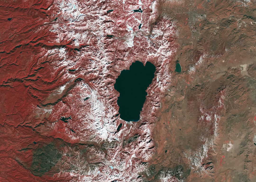
Geographic Information Systems (GIS) serve as a powerful platform for visualizing and analyzing spatial data related to wildfire risk. The integration of AI with GIS enhances the capabilities of both technologies, allowing for more sophisticated analyses and visualizations. GIS provides a framework for mapping various layers of information—such as topography, land use, vegetation types, and historical fire occurrences—while AI algorithms can analyze these layers to identify correlations and trends that may not be immediately apparent.
For instance, by overlaying vegetation maps with historical fire data using GIS tools enhanced by AI analysis, researchers can identify patterns that indicate which types of vegetation are most susceptible to burning under specific conditions. This information is crucial for land management agencies seeking to prioritize fuel reduction efforts in high-risk areas.
Enhancing Early Warning Systems

Early warning systems are vital for mitigating the impacts of wildfires on communities and ecosystems. The integration of AI into these systems significantly enhances their effectiveness by providing timely alerts based on real-time data analysis and predictive modeling. For example, AI algorithms can analyze weather patterns and environmental conditions to issue warnings about elevated fire risks before a blaze ignites.
This proactive approach allows communities to prepare for potential evacuations or implement fire prevention measures. In practice, early warning systems powered by AI have demonstrated their value during wildfire events. In Australia, the use of machine learning algorithms has improved the accuracy of fire danger ratings by analyzing historical weather data alongside current conditions.
This has enabled authorities to issue more precise warnings that account for localized variations in fire risk. As a result, communities are better equipped to respond swiftly when threats arise, ultimately saving lives and reducing property damage.
Supporting Emergency Response and Resource Allocation
The role of AI in wildfire risk mapping extends beyond prediction; it also plays a critical part in supporting emergency response efforts during active wildfire incidents. When a fire breaks out, rapid access to accurate information is essential for coordinating firefighting resources effectively. AI-driven platforms can analyze real-time data on fire behavior, weather conditions, and available resources to optimize response strategies.
For instance, during the 2021 Oregon wildfires, AI tools were utilized to assess the location of active fires in relation to available firefighting crews and equipment. By analyzing factors such as road access and terrain challenges, these tools helped incident commanders make informed decisions about where to deploy resources most effectively. Additionally, AI can assist in predicting where fires are likely to spread next based on current conditions, allowing responders to preemptively allocate resources to high-risk areas.
Moreover, AI-supported systems can facilitate communication among various agencies involved in firefighting efforts. By providing a centralized platform for sharing real-time information about fire status and resource availability, these systems enhance collaboration among local fire departments, state agencies, and federal organizations. This coordinated approach is crucial for maximizing the effectiveness of firefighting efforts and minimizing the overall impact of wildfires on communities.
Future Developments and Challenges in AI-supported Wildfire Risk Mapping
As technology continues to evolve, the future of AI-supported wildfire risk mapping holds great promise but also presents several challenges that must be addressed. One significant area for development is the refinement of machine learning algorithms used in predictive modeling. While current models have shown impressive accuracy in forecasting fire behavior, there remains room for improvement in their ability to account for complex interactions between various environmental factors.
Ongoing research into advanced algorithms that incorporate more nuanced data inputs will be essential for enhancing predictive capabilities. Another challenge lies in ensuring equitable access to advanced wildfire risk mapping technologies across different regions. While urban areas may benefit from cutting-edge tools and resources, rural communities often lack the infrastructure necessary for effective implementation.
Bridging this gap will require collaboration between government agencies, private sector partners, and local communities to develop tailored solutions that address specific needs. Furthermore, ethical considerations surrounding data privacy and security must be prioritized as AI technologies become more integrated into wildfire management practices. The collection of real-time data from various sources raises questions about how this information is used and who has access to it.
Establishing clear guidelines for data usage while ensuring transparency will be crucial for maintaining public trust in these systems. In conclusion, while the integration of AI into wildfire risk mapping presents exciting opportunities for improving fire management practices, it also necessitates careful consideration of the challenges ahead. By addressing these issues proactively, stakeholders can harness the full potential of technology to enhance resilience against wildfires in an increasingly volatile climate landscape.
An interesting related article to explore is “Top Trends on Digital Marketing 2023” which discusses the latest trends and strategies in the digital marketing industry. This article provides valuable insights into how businesses can leverage digital marketing tools and techniques to reach their target audience effectively. To read more about this topic, check out the article here.
FAQs
What is real-time wildfire risk mapping?
Real-time wildfire risk mapping is the process of using data and technology to assess and predict the likelihood and potential impact of wildfires in a specific area at a given time.
How does AI support real-time wildfire risk mapping?
AI supports real-time wildfire risk mapping by analyzing large amounts of data, such as weather patterns, topography, and historical fire data, to identify areas at high risk of wildfires. AI can also help in predicting the spread of wildfires and their potential impact on communities.
What are the benefits of using AI for real-time wildfire risk mapping?
Using AI for real-time wildfire risk mapping allows for more accurate and timely assessments of wildfire risk, which can help emergency responders and communities better prepare for and respond to wildfires. It also enables more efficient allocation of resources for wildfire prevention and management.
What are some examples of AI technologies used for real-time wildfire risk mapping?
Some examples of AI technologies used for real-time wildfire risk mapping include machine learning algorithms that analyze historical fire data to predict future wildfire behavior, and remote sensing technologies that use AI to interpret satellite imagery and detect potential fire hotspots.
How can real-time wildfire risk mapping with AI benefit communities and the environment?
Real-time wildfire risk mapping with AI can benefit communities and the environment by providing early warnings and more accurate assessments of wildfire risk, which can help minimize the impact of wildfires on human lives, property, and natural habitats. It can also support more effective wildfire prevention and management efforts.