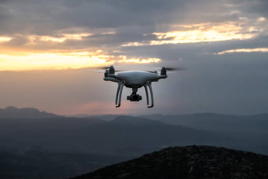
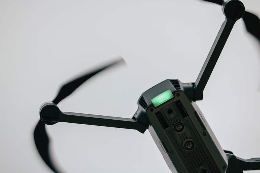
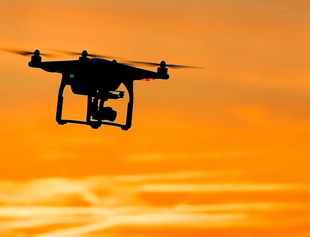
The advent of artificial intelligence (AI) has revolutionized numerous sectors, and the field of drone technology is no exception. AI-powered drones are equipped with sophisticated algorithms that enable them to perform complex tasks autonomously, making them invaluable tools in various applications, particularly in environmental monitoring and management. These drones can process vast amounts of data in real-time, allowing for enhanced decision-making and operational efficiency.
Their ability to navigate challenging terrains and access remote locations further amplifies their utility, especially in areas where human presence is limited or hazardous. The integration of AI into drone technology has opened new frontiers in environmental science. By leveraging machine learning and computer vision, these drones can identify patterns, detect anomalies, and even predict future trends based on historical data.
This capability is particularly significant in the context of biodiversity monitoring, disaster management, and climate change research. As the world grapples with pressing environmental challenges, AI-powered drones emerge as a critical asset, providing innovative solutions that were previously unattainable. Their versatility and adaptability make them essential tools for researchers, conservationists, and policymakers alike.
Key Takeaways
- AI-powered drones are revolutionizing environmental monitoring and management by providing efficient and accurate data collection and analysis.
- Drones are being used to monitor and map biodiversity, allowing researchers to track changes in ecosystems and species distribution over time.
- In the event of natural disasters, drones are being utilized for tracking and managing the impact, providing crucial information for disaster response and recovery efforts.
- Drones equipped with sensors are being used to assess and monitor air and water quality, providing valuable data for environmental protection and public health.
- Precision agriculture and land management are benefitting from drone technology, allowing for optimized resource use and sustainable farming practices.
Monitoring and Mapping Biodiversity
Revolutionizing Biodiversity Monitoring with AI-Powered Drones
The integration of AI-powered drones in biodiversity monitoring and mapping has proven to be a game-changer. Traditional methods of assessing biodiversity often involve labor-intensive field surveys that can be time-consuming and costly. In contrast, drones equipped with high-resolution cameras and advanced sensors can cover large areas quickly and efficiently.
Enhanced Data Collection and Analysis
These drones can capture detailed images and data that allow researchers to assess vegetation health, species distribution, and habitat conditions with unprecedented accuracy. For instance, researchers studying tropical rainforests have utilized drones to create detailed 3D maps of forest structure. By analyzing the data collected from these aerial surveys, scientists can identify areas of high biodiversity and monitor changes over time due to factors such as deforestation or climate change.
AI-Driven Species Classification and Conservation
Additionally, AI algorithms can process the imagery to classify different species based on their unique spectral signatures, enabling more comprehensive assessments of ecosystem health. This approach not only enhances our understanding of biodiversity but also aids in the development of conservation strategies tailored to specific ecosystems.
Tracking and Managing Natural Disasters

AI-powered drones play a pivotal role in tracking and managing natural disasters, providing critical data that can inform emergency response efforts. During events such as hurricanes, wildfires, or floods, these drones can be deployed to assess damage, monitor changing conditions, and deliver real-time information to first responders. Equipped with thermal imaging cameras and other sensors, drones can identify hotspots in wildfire situations or locate stranded individuals in flood-affected areas.
For example, during the aftermath of Hurricane Harvey in 2017, drones were used extensively to survey the flooded regions of Texas. They provided aerial imagery that helped emergency management teams understand the extent of the flooding and prioritize rescue operations. The ability to quickly gather data from hard-to-reach areas significantly improved response times and resource allocation.
Furthermore, AI algorithms can analyze historical disaster data to predict potential future events, allowing communities to better prepare for natural disasters and mitigate their impacts.
Assessing and Monitoring Air and Water Quality
The assessment and monitoring of air and water quality are critical components of environmental management, and AI-powered drones are increasingly being utilized for these purposes. Drones equipped with specialized sensors can measure pollutants in the air or analyze water samples from lakes, rivers, and oceans. This capability allows for continuous monitoring of environmental conditions, providing valuable data that can inform public health initiatives and regulatory policies.
For instance, in urban areas where air quality is a growing concern, drones can be deployed to map pollution hotspots. By collecting data on particulate matter, nitrogen dioxide, and other harmful substances, researchers can identify sources of pollution and assess the effectiveness of mitigation strategies. Similarly, drones can monitor water quality by analyzing parameters such as pH levels, turbidity, and the presence of harmful microorganisms.
This real-time data collection is essential for ensuring safe drinking water supplies and protecting aquatic ecosystems from contamination.
Precision Agriculture and Land Management
In the realm of agriculture, AI-powered drones are transforming traditional farming practices through precision agriculture techniques. These drones enable farmers to monitor crop health, optimize resource use, and increase yields while minimizing environmental impact. By capturing high-resolution images of fields, drones can identify areas that require attention—whether due to pest infestations, nutrient deficiencies, or irrigation needs.
For example, a farmer may use a drone equipped with multispectral sensors to assess crop health across large fields. The drone’s imagery can reveal variations in plant vigor that are not visible to the naked eye. By analyzing this data with AI algorithms, farmers can make informed decisions about where to apply fertilizers or pesticides more effectively.
This targeted approach not only enhances productivity but also reduces chemical runoff into surrounding ecosystems. Moreover, drones can assist in land management practices by mapping soil types and moisture levels, enabling more sustainable land use planning.
Wildlife Conservation and Anti-Poaching Efforts

Monitoring Wildlife Populations
Equipped with advanced imaging technology and AI algorithms capable of recognizing animal species, drones can conduct aerial surveys that help researchers track population dynamics over time.
Anti-Poaching Initiatives
In regions where poaching poses a significant threat to endangered species, drones have become an essential tool for conservationists. For instance, in Africa’s national parks, drones are used to patrol vast areas that are difficult for ground teams to access regularly. They can detect illegal activities such as poaching or habitat destruction in real-time, allowing rangers to respond swiftly to threats.
Predicting Poaching Hotspots
The use of AI enhances these efforts by analyzing patterns in poaching incidents and predicting potential hotspots based on environmental factors and historical data.
Advancements in Climate Change Research
AI-powered drones are also making significant contributions to climate change research by providing critical data on environmental changes over time. These drones can collect information on temperature variations, vegetation cover changes, and carbon sequestration rates across diverse ecosystems. This data is invaluable for understanding how climate change impacts different regions and for developing effective mitigation strategies.
For example, researchers studying glacial retreat have employed drones to capture high-resolution images of glaciers over time. By analyzing these images with AI algorithms, scientists can quantify changes in glacier mass and predict future melting rates under various climate scenarios. Similarly, drones equipped with LiDAR technology can assess forest biomass and carbon storage capacity, providing insights into how forests contribute to carbon sequestration efforts.
Such advancements are crucial for informing global climate policies and enhancing our understanding of the complex interactions between climate change and ecosystems.
Ethical and Privacy Considerations in Environmental Drone Use
While the benefits of AI-powered drones in environmental applications are substantial, ethical and privacy considerations must be addressed as their use becomes more widespread. The deployment of drones raises questions about surveillance and data collection practices that could infringe on individual privacy rights. As these technologies become more integrated into environmental monitoring efforts, it is essential to establish clear guidelines regarding data usage and consent.
Moreover, there is a need for transparency in how data collected by drones is utilized by governments and organizations. Ensuring that this information is used responsibly and ethically is paramount to maintaining public trust in these technologies. Additionally, considerations around the potential impact on wildlife must be taken into account; for instance, drone flights could disturb sensitive species during breeding seasons or migration periods if not managed properly.
As AI-powered drones continue to evolve and find new applications in environmental science, it is crucial for stakeholders—including researchers, policymakers, and the public—to engage in discussions about ethical frameworks that govern their use. Balancing technological advancement with ethical considerations will be essential for maximizing the benefits of these innovative tools while minimizing potential risks to privacy and wildlife welfare.
A related article to How AI-Powered Drones Are Revolutionizing Environmental Research is Top Trends on LinkedIn 2023. This article discusses the latest trends on the professional networking platform and how they are shaping the future of various industries. It is important for researchers and professionals in the environmental field to stay updated on these trends to ensure they are utilizing the most cutting-edge technology and techniques in their work.
FAQs
What are AI-powered drones?
AI-powered drones are unmanned aerial vehicles equipped with artificial intelligence technology that allows them to perform tasks such as data collection, analysis, and decision-making without human intervention.
How are AI-powered drones revolutionizing environmental research?
AI-powered drones are revolutionizing environmental research by providing researchers with a cost-effective and efficient way to collect data on various environmental factors such as air and water quality, wildlife populations, and habitat conditions. These drones can cover large areas quickly and provide high-resolution data that was previously difficult to obtain.
What are some specific applications of AI-powered drones in environmental research?
Some specific applications of AI-powered drones in environmental research include monitoring and mapping of deforestation, tracking wildlife populations, assessing the impact of climate change on ecosystems, and identifying sources of pollution in water bodies.
What are the benefits of using AI-powered drones in environmental research?
The benefits of using AI-powered drones in environmental research include increased efficiency in data collection, reduced costs compared to traditional methods such as satellite imagery or ground surveys, and the ability to access hard-to-reach or dangerous areas for data collection.
What are the challenges of using AI-powered drones in environmental research?
Challenges of using AI-powered drones in environmental research include regulatory restrictions on drone use, limitations in battery life and flight range, and the need for specialized training to operate and interpret data from AI-powered drones.

