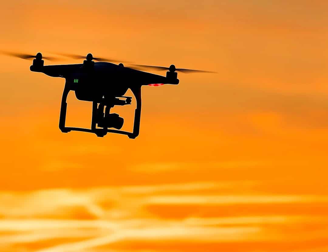
The intersection of artificial intelligence (AI) and drone technology has ushered in a new era of aerial capabilities, transforming industries and enhancing operational efficiencies. Drones, or unmanned aerial vehicles (UAVs), have evolved from simple remote-controlled devices into sophisticated machines equipped with advanced sensors and AI algorithms. This evolution has enabled drones to perform complex tasks autonomously, ranging from aerial photography to agricultural monitoring and delivery services.
The integration of AI into drone navigation systems is particularly significant, as it allows for real-time decision-making, obstacle avoidance, and enhanced situational awareness. As drones become increasingly prevalent in various sectors, understanding the nuances of their navigation systems becomes essential. Traditional navigation methods often rely on GPS and pre-programmed flight paths, which can be limiting in dynamic environments.
AI enhances these systems by enabling drones to interpret data from their surroundings, adapt to changing conditions, and make informed decisions on the fly. This capability not only improves the efficiency of drone operations but also expands their potential applications, making them invaluable tools in fields such as logistics, emergency response, and environmental monitoring.
Key Takeaways
- AI plays a crucial role in improving drone navigation by enabling autonomous decision-making and obstacle avoidance.
- Understanding the basics of drone navigation, including GPS, sensors, and flight control systems, is essential for effective AI integration.
- AI enhances drone navigation by analyzing data in real-time, optimizing flight paths, and adapting to changing environmental conditions.
- Using AI for drone navigation offers benefits such as increased efficiency, reduced human error, and enhanced safety in complex or hazardous environments.
- Despite its potential, AI in drone navigation faces challenges such as limited battery life, regulatory restrictions, and the need for continuous training and updates.
Understanding the Basics of Drone Navigation
At its core, drone navigation involves determining the position and orientation of a drone in three-dimensional space while ensuring it reaches its intended destination safely and efficiently. The fundamental components of drone navigation include positioning systems, sensors, and control algorithms. Positioning systems, primarily GPS, provide the geographical coordinates necessary for navigation.
However, GPS signals can be unreliable in urban canyons or dense forests, necessitating alternative methods for accurate positioning. In addition to GPS, drones are equipped with various sensors that contribute to their navigational capabilities. Inertial measurement units (IMUs) track changes in velocity and orientation, while barometers measure altitude.
Cameras and LiDAR sensors provide visual and depth information about the environment, enabling drones to detect obstacles and navigate complex terrains. Control algorithms process data from these sensors to execute flight maneuvers, maintain stability, and adjust flight paths as needed. Understanding these basic components is crucial for grasping how AI can enhance drone navigation.
The Role of AI in Improving Drone Navigation

AI plays a transformative role in drone navigation by enabling machines to learn from data and make autonomous decisions based on real-time inputs. Machine learning algorithms analyze vast amounts of data collected from sensors to identify patterns and predict potential obstacles or changes in the environment. For instance, a drone equipped with computer vision capabilities can recognize objects such as trees, buildings, or other aircraft, allowing it to navigate around them safely.
Moreover, AI enhances the ability of drones to perform simultaneous localization and mapping (SLAM). This technique allows drones to create a map of their surroundings while simultaneously tracking their position within that map. By utilizing AI-driven SLAM algorithms, drones can operate effectively in unknown or GPS-denied environments, such as disaster zones or indoor settings.
This capability is particularly valuable for search and rescue missions where traditional navigation methods may fail.
Benefits of Using AI for Drone Navigation
The integration of AI into drone navigation systems offers numerous benefits that significantly enhance operational efficiency and safety. One of the most notable advantages is improved obstacle avoidance. AI algorithms can process sensor data in real-time to detect and classify obstacles, allowing drones to make split-second decisions to alter their flight paths.
This capability reduces the risk of collisions and enhances the safety of both the drone and its surroundings. Additionally, AI enables drones to optimize their flight paths based on various factors such as weather conditions, battery life, and mission objectives. For example, an AI-powered drone can analyze wind patterns and adjust its route to minimize energy consumption while maximizing coverage area during agricultural surveys.
This optimization not only extends the operational range of drones but also increases the accuracy of data collection in applications like environmental monitoring or infrastructure inspection.
Challenges and Limitations of AI in Drone Navigation
Despite the significant advancements brought about by AI in drone navigation, several challenges and limitations persist. One major concern is the reliability of AI algorithms in unpredictable environments. While machine learning models can be trained on extensive datasets, they may struggle to adapt to novel situations that were not represented during training.
For instance, a drone trained to navigate urban landscapes may encounter difficulties when deployed in rural areas with different terrain features. Another challenge lies in the computational requirements of AI algorithms. Real-time processing of sensor data demands substantial computational power, which can be a limiting factor for smaller drones with constrained payload capacities.
Additionally, ensuring robust communication between the drone and its control system is critical for effective navigation; any disruption in communication can lead to navigational errors or loss of control.
Tips for Beginners Using AI for Drone Navigation

For those new to using AI for drone navigation, several practical tips can enhance the learning experience and improve operational success. First and foremost, it is essential to familiarize oneself with the specific capabilities and limitations of the drone being used. Understanding how the onboard sensors function and how they interact with AI algorithms will provide valuable insights into optimizing flight operations.
Additionally, beginners should start with simple missions in controlled environments before progressing to more complex tasks. This gradual approach allows users to gain confidence in their ability to operate the drone while also providing opportunities to troubleshoot any issues that may arise during navigation. Utilizing simulation software can also be beneficial; it allows users to practice navigating various scenarios without the risk of damaging physical equipment.
Future Developments in AI and Drone Navigation
The future of AI in drone navigation holds immense potential for further advancements that could revolutionize how drones operate across various industries. One promising area is the development of more sophisticated AI algorithms capable of deep learning from real-world experiences. These algorithms could enable drones to continuously improve their navigational skills by learning from past flights and adapting to new environments autonomously.
Moreover, advancements in sensor technology will likely enhance the capabilities of AI-driven drones. The integration of multi-spectral cameras and advanced LiDAR systems could provide richer datasets for AI algorithms to analyze, leading to more accurate obstacle detection and environmental mapping. Additionally, as 5G networks become more widespread, drones will benefit from faster data transmission rates, allowing for improved real-time decision-making capabilities.
Harnessing the Power of AI for Improved Drone Navigation
The integration of artificial intelligence into drone navigation represents a significant leap forward in aerial technology. By enhancing traditional navigation methods with advanced algorithms and real-time data processing capabilities, AI empowers drones to operate autonomously in complex environments while improving safety and efficiency.
As we look ahead, it is clear that ongoing research and development will further refine these technologies, addressing current challenges while unlocking new possibilities for drone operations. The synergy between AI and drone navigation not only promises enhanced performance but also paves the way for transformative changes across various sectors, ultimately reshaping how we perceive aerial capabilities in our daily lives.
If you are interested in exploring the latest technology trends, you may want to check out the article com/unlock-a-new-world-of-possibilities-with-samsung-galaxy-z-fold4/’>Unlock a New World of Possibilities with Samsung Galaxy Z Fold4.
This article discusses the innovative features of the Samsung Galaxy Z Fold4 and how it can revolutionize the way we use smartphones. Just like how AI enhances drone navigation for beginners, the Samsung Galaxy Z Fold4 offers cutting-edge technology that can enhance your overall user experience.
FAQs
What is AI?
AI, or artificial intelligence, refers to the simulation of human intelligence in machines that are programmed to think and act like humans. This includes tasks such as learning, problem-solving, and decision-making.
What are drones?
Drones, also known as unmanned aerial vehicles (UAVs), are aircraft that are operated without a human pilot on board. They can be controlled remotely by a human operator or autonomously by onboard computers.
How does AI enhance drone navigation?
AI enhances drone navigation by enabling drones to make autonomous decisions based on real-time data and environmental factors. This allows drones to navigate more efficiently and safely, avoiding obstacles and adapting to changing conditions.
What are the benefits of using AI for drone navigation?
Using AI for drone navigation allows for improved accuracy, efficiency, and safety. AI enables drones to navigate complex environments, avoid collisions, and optimize flight paths, making them more reliable and effective for a wide range of applications.
What are some examples of AI-enhanced drone navigation applications?
AI-enhanced drone navigation is used in various industries and applications, including agriculture (for crop monitoring and spraying), construction (for site surveying and monitoring), search and rescue operations, environmental monitoring, and package delivery.